Monitoring Avian Productivity and Survivorship (MAPS) Bird Banding Reports

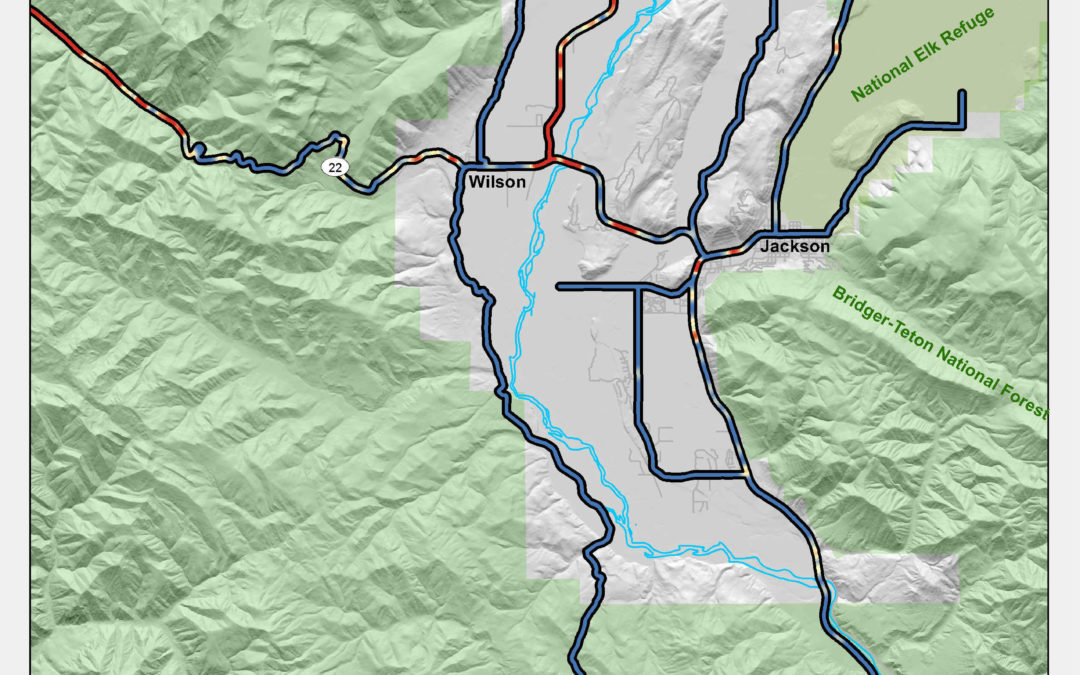
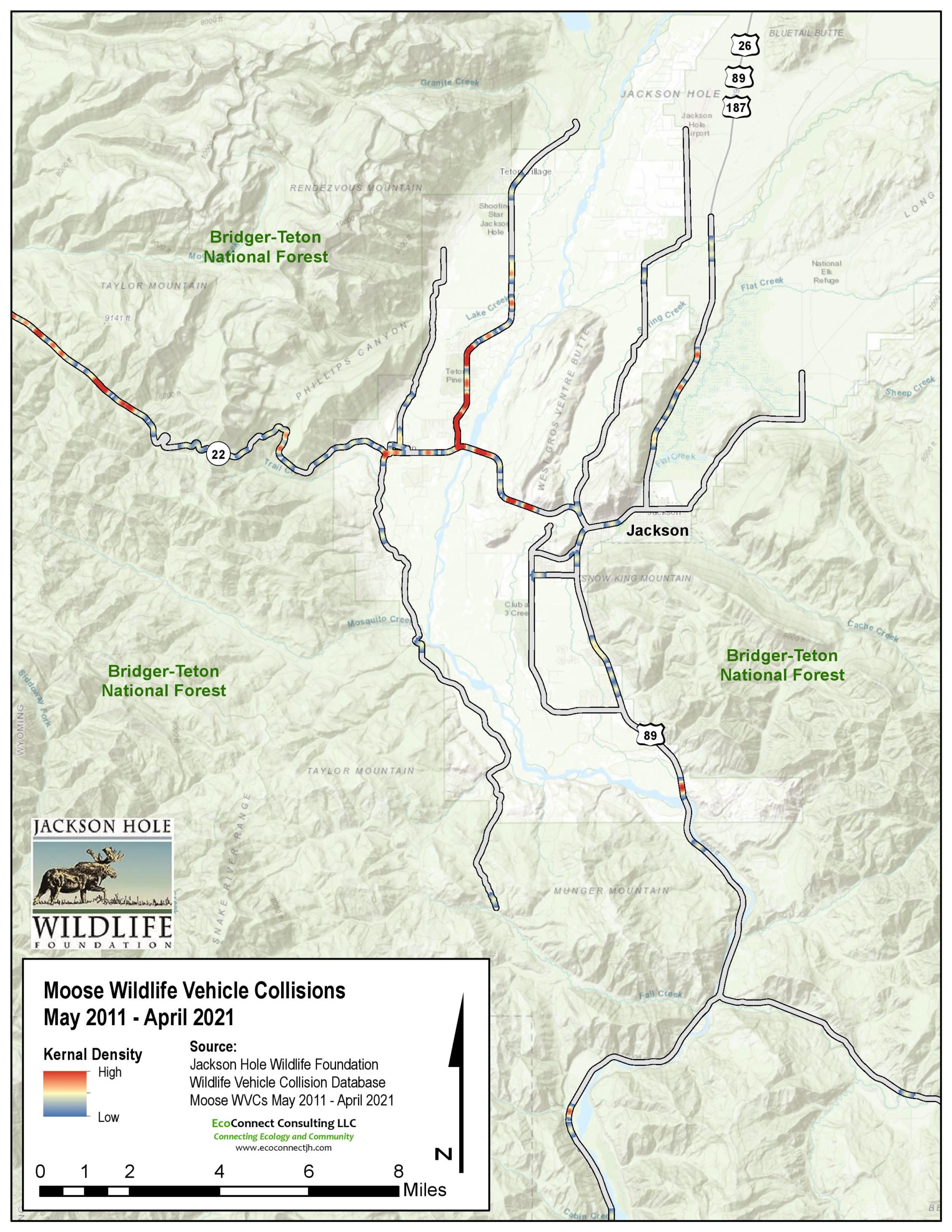
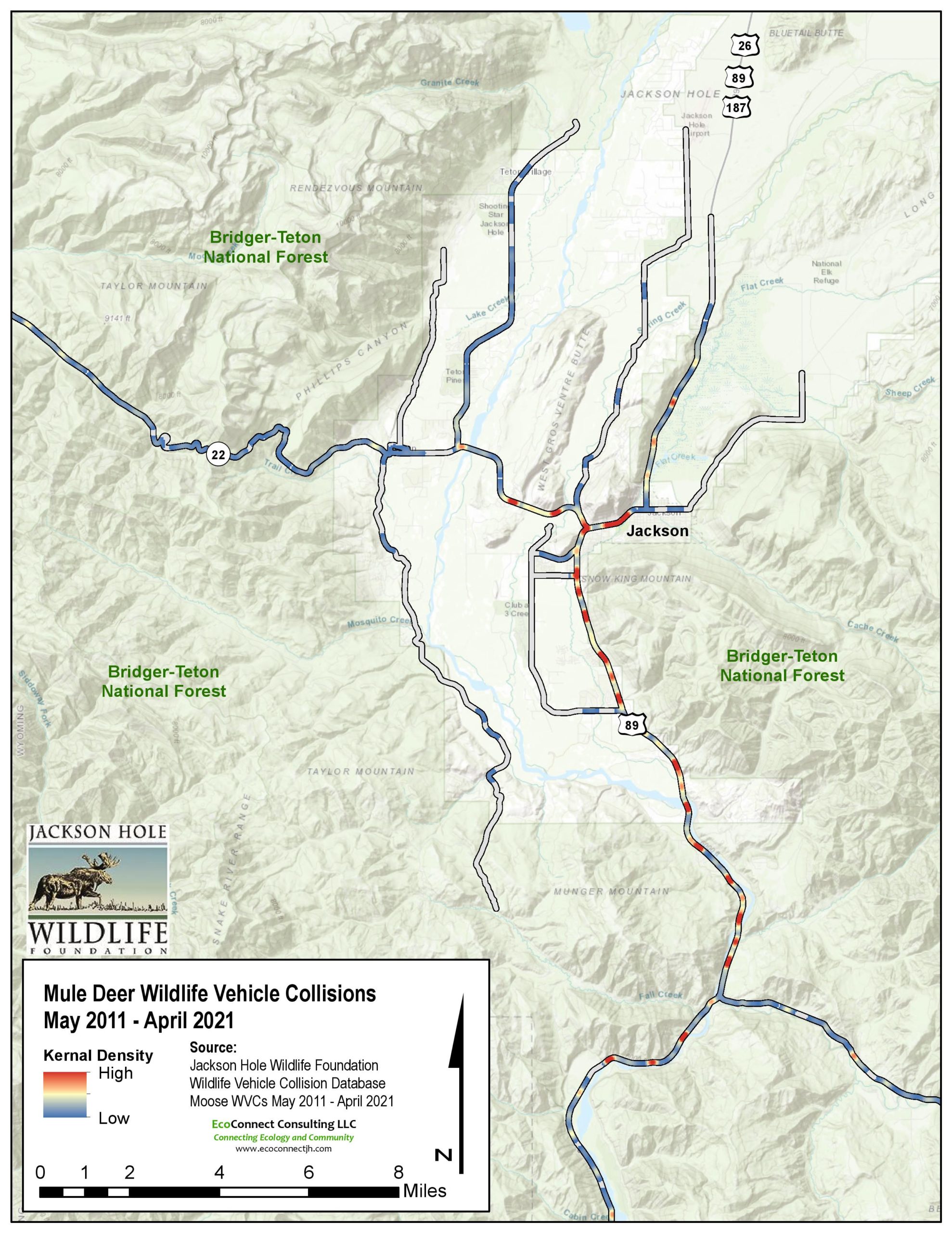
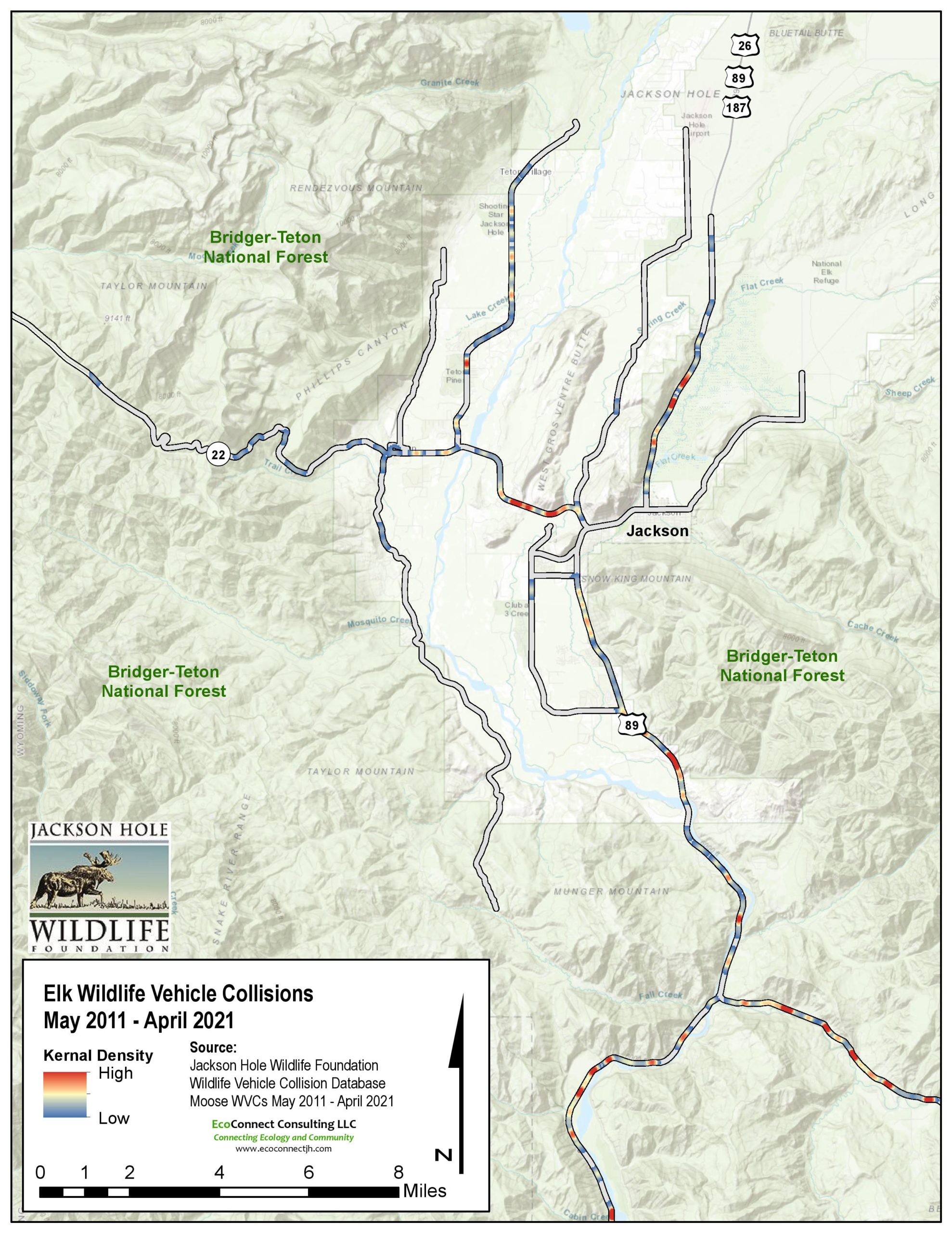
Be mindful when driving through these roadkill hotspots in Jackson Hole, Wyoming.
CLICK HERE to access the .pdf wildlife-vehicle collision hotspot map for moose.
CLICK HERE to access the .pdf wildlife-vehicle collision map for deer.
CLICK HERE to access the .pdf wildlife-vehicle collision map for elk.
If you do see roadkill, please call us at 307-739-0968, or email info@jhwildlife.org and report it. We would like to know as much as you can tell safely, such as where, when, what animal, what sex (if you can tell), and any other notes.
Click here for a PDF observation form to help you track roadkill in Jackson Hole.

Learn more in the Wyoming Landowner’s Handbook Fences and Wildlife PDF.
The Teton County Wildlife Crossings Master Plan Action Summary reflects the recommendations of the advisory committee at present. Most of the committee members have been active in conversations about wildlife crossings for several years. The committee is comprised of biologists, county engineers and planners, wildlife experts and advocates who are deeply invested in ensuring that the Master Plan is a usable document for future wildlife-vehicle collision mitigation. This group worked to provide local knowledge of locations, the social landscape, and our assessment of future feasibility to develop recommendations. Ongoing discussions with partners may result in adjustments to the priorities suggested herein. This summary document does not assume any future highway improvement projects, although future project potential and integration opportunities are considered. Also, while locations within Grand Teton National Park may benefit from mitigation consideration, the national park conducts its own wildlife-vehicle mitigation studies and subsequently was not included in this assessment.
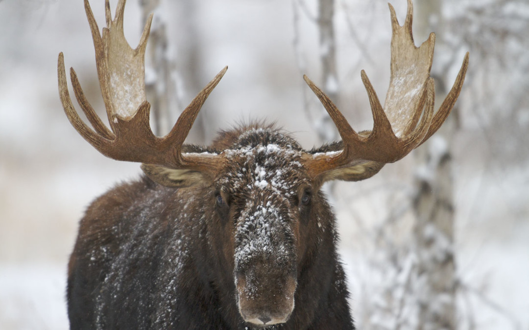
We may be desperate for snow, but recreating in winter wildlife closure areas is not the way to find it. That’s the message several government agencies, environmental groups and recreation clubs hope to spread this winter through the “Don’t Poach the Powder” campaign. The groups want to let residents and visitors know that “poaching” wildlife closures with skis, snowboards or snowmobiles can be as harmful to wildlife populations as poaching with a rifle.
The Jackson Hole Wildlife Foundation has a unique partnership with the Bridger-Teton National Forest, the Jackson Hole Conservation Alliance, the Wyoming Game and Fish Department, the Wyoming State Snowmobile Association, the Teton Conservation District, and the Wyoming State Trails Program to help end a harmful practice that continues despite Jackson’s environmentally conscious constituency.
Human presence stresses wildlife, causing them to use precious energy they need to survive until summer.
Deep snow, cold temperatures, and a lack of food make winter a stressful time for wildlife.
Large ungulates such as elk, mule deer, moose and bighorn sheep rely on wind-swept south facing hillsides for winter food.
Respect wildlife and their habitat by knowing the location of closed areas before entering the Forest and avoid wildlife winter range. Closures are in effect from December 1 – April 30. Access the USFS closure map here.
Obtain a free winter travel map from any Forest Service office or the visitor center on North Cache.
Help spread the word about winter closures with your friends. Many of the violations are not intentional and could be avoided if the people knew where the closure areas were located.
Obey the closures even when the snow is beginning to melt and dry areas are exposed. Hikers, paragliders, horseback riders and bicyclists can have the same dire impacts on weakened wildlife just coming out of the winter season. Spring is an important time for wildlife to restore depleted energy resources.
Stop at the information kiosk at major Forest Trailheads. The winter closure maps and information is generally posted in these areas as well.
Report offenders to the individual agencies responsible for enforcement (e.g. Grand Teton National Park, Bridger-Teton National Forest, Targhee National Forest).