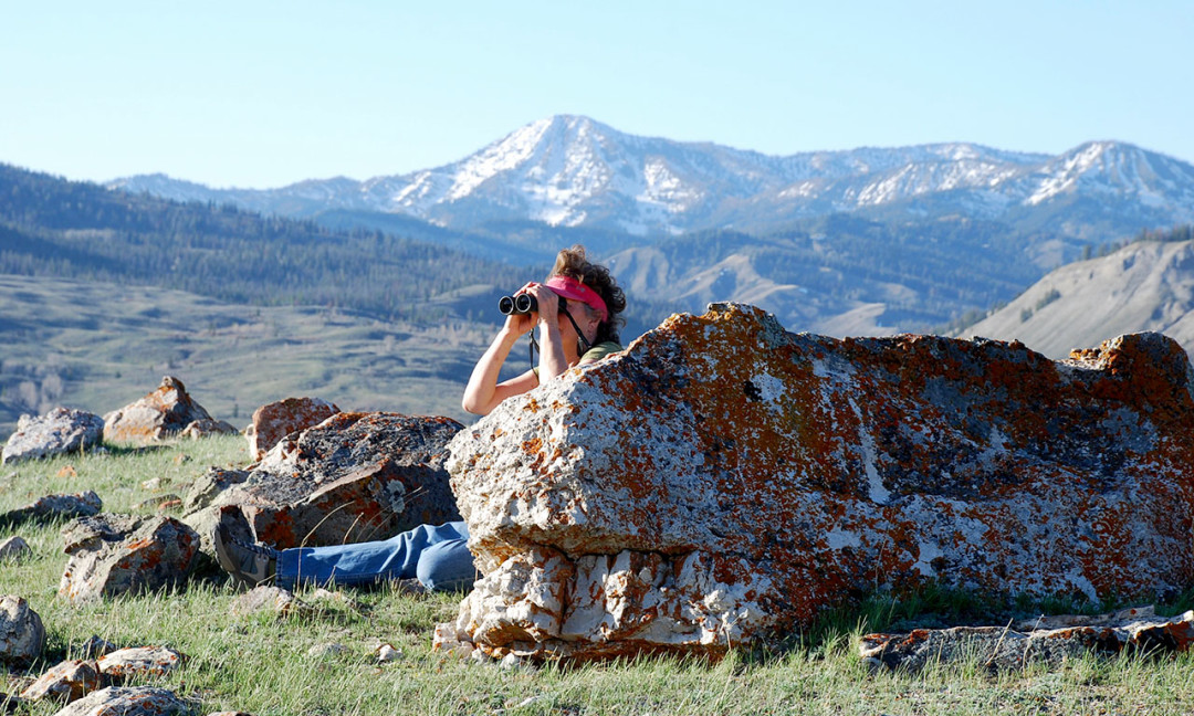
To officially get started with Nature Mapping, you will need to attend a training session. Please check here to see when the next training will be. At this initial training, you will receive login credentials. After being trained, you are ready to collect data and participate in specific Nature Mapping projects!
The links below will bring you to resource materials intended to refresh specifics from trainings or further your knowledge of specific skills needed by Nature Mappers.
Tools for the Field
Nature Mapping Paper Observation Form
This is a blank version of the Nature Mapping Observation form. For Project Backyard Observers, it may be helpful to print out a copy of this form to record your observations throughout the week. For others, it may be helpful to keep an observation form in your car or backpack to jot down observations and then enter them online at a later time (but not too much later!). Please note that the second page of the form includes some codes that will be helpful when making observations.
Quick Tips for using Nature Mapping GPS Units
Hand-out from GPS Trainings including quick tips for using Nature Mapping GPS units.
Data Entry and Account Tips
On-line Data Entry and My Account Updates
This link will download a PDF guide to entering data on-line as well as updating your account information
Tips for Using Default Settings
A downloadable PDF containing tips on setting your default settings. This document works well with the Tips for Faster Data Entry document.
Tips for Faster Data Entry
A downloadable PDF containing tips for faster data entry. This document works well with the Tips for Using Default Settings document.
Bird and Mammals Lists
Complete Species List for Wyoming
Complete list of Wyoming Species including species codes and latin names.
Birds of Jackson Hole
A bird List for Jackson Hole compiled by Meg & Bert Raynes and available from the Wyoming Game and Fish Department
Wyoming Birds List
Complete list of Wyoming’s birds species
Certification Training Resources
Nature Mapping Certification Training Presentation
A PDF version of the powerpoint shared at the Nature Mapping Certification Training.
Teton County Online MapServer
Links to the Teton County MapServer system. This is a great place to look up UTM coordinates. Remember that we use UTM Zone 12 NAD83 meters which on the Computer version is located in the lower right hand corner of the mapservers’ webpage. For the Mobile Device version, UTMs are obtained by clicking in a location so that the information box pops-up. The UTMs of this location are located at the bottom of the information box.
Observing Birds Tips
Below are some tips for beginner birders. Nature Mapping strives to have several birding events throughout the spring and summer for trained Nature Mapping Citizen Scientists so please come join the fun, learn a tip or two and share your enthusiasm for the avian world with others!
Judge shape and size
Is the bird bigger or smaller than a robin? Bigger or smaller than a mallard duck? Recognize that bird shape can change based on weather conditions and general posture. Sketching birds is a great way to practice learning the general shape and size of various bird species.
Practice seeing details
Focus on the bird’s head and bill. The bill will help place the bird in a broad group and many birds have distinctive field marks on their face. Other areas to focus on for field marks are the tail (colors/ patterns on the top and bottom), wing shape, wing length relative to the body and wing coloration.
Recognize patterns
How do these patterns (color bands, color patches, etc.) change when viewed at a distance versus at close range? What is the bird’s flight pattern? What can you see when the bird is flying versus perched (e.g. underwing pattern)? Begin to study groups of birds and learn what makes them distinct. For example, ducks can be broken into two groups: diving ducks and dabbling ducks. From there, these birds can be broken into many more groups based on food source (meat or vegetation), water type (fresh or salt), head shape, etc.
Pay attention to habitat and location
Wetlands birds are generally not often found in the desert. This distinction may seem obvious but when you apply this knowledge to the list of “possible” bird species, you will narrow the list greatly. Birds are specialized to take advantage of habitat niches. What physical characteristics indicate these specializations (e.g. bill length)? Are they in deciduous or conifer forests? What are they eating and where is it found?
Use multiple field marks for identity
Look at the bird – this is elemental but extremely important. Don’t grab for your field guide with only one or two details. Study the bird to gather as much detail as possible before looking at your field guide. When possible, you should be able to place the bird into a general group, know the bill shape, get as many field markings as possible and have thought about habitat a bit before looking up a bird in your book. This information will greatly cut down on the number of “possible” birds in your book.
Know the possibilities
Knowing what birds are typically found in the area on a seasonal basis is incredibly helpful. Local bird lists help with this endeavor. Start with the most common species. Once you get these down, then move to less common species.
Read the guidebook description
Be sure to read the short description associated with each species in your guidebook in addition to looking at the pictures/ drawings. These paragraphs are structured to include helpful information to determine species identification such as habitat, how common the species are, unusual characteristics or molts, etc. For each species there is also a range map showing the species’ seasonal ranges. Be sure that the bird you’re identifying is in your area during the correct season!
Bird with other enthusiasts
Everyone notices different details and has a different catalog of known birds in their heads. Therefore, it is beneficial to bird with others whenever possible. Ask questions, look for clarification on positive identifications and listen to others and to the birds. The Jackson Hole Bird Club meets the first Sunday of every month. This is a great place to meet other birders and to learn what people have been seeing. After you’ve identified the bird, hang around and observe it for a bit. Are there additional field marks that you can recognize? What behavioral patterns seem typical?
Backyard feeders
A bird feeder is not a requirement for gathering data about birds near your home. However, a bird feeder will attract birds, and helps facilitate opportunities for interesting observations. To reduce chances of bears obtaining bird seed and becoming food conditioned (dangerous), remember to hang feeders at least 10 feet high and four feet from the trunk of a tree. If you do use a feeder, be sure to keep it filled with bird seed. The birds are depending on you.
Local Resources
Bert Raynes’ Local Field Guides
Birds of Jackson Hole Checklist available at from the Wyoming Game and Fish Department (PDF)
A Pocket Guide to the Birds of Jackson Hole: The Occurrence, Arrival and Departure Dates, and Preferred Habitat of Birds of the Jackson Hole, Wyoming Area. A pocket guide by Bert Raynes and published by Homestead Publishing.
Bird Identification Trainings
Click here to download a Nature Mapping Training presentation done by Susan Patla and Susan Marsh on identifying some of the species seen locally in the winter. Please check the Event Calendar for upcoming bird related trainings.
Tips about observing birds on this page are based on suggestions found in:
Sibley, D. 2002. Sibley’s Birding Basics. Knopf, New York, NY.
Sibley, D. 2003. The Sibley Field Guide to Birds of Western North America. Knopf, New York, NY.


