
")

")

")
")
")
")
")
")
")
")
")
 (2)")
 (1)")
")
")
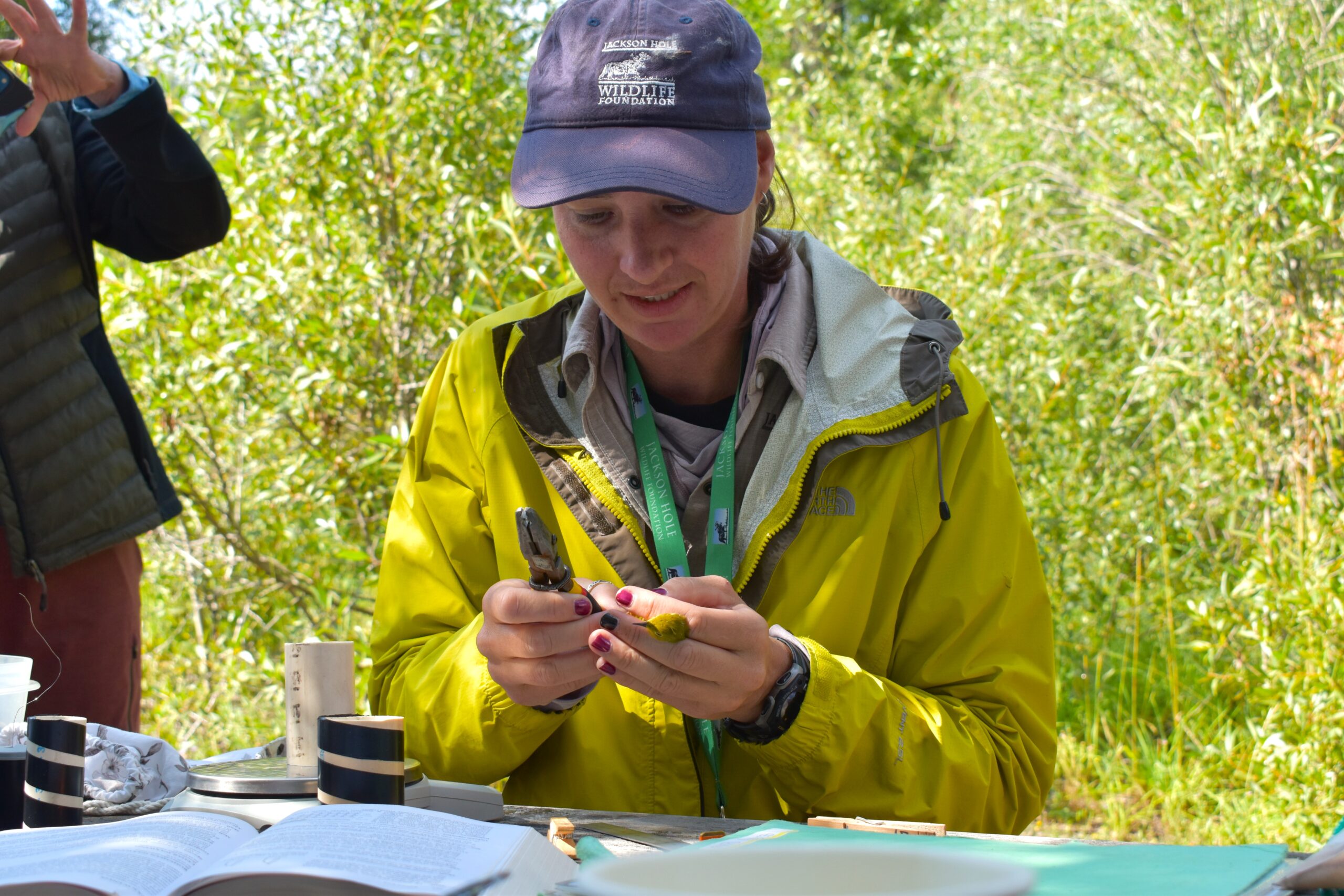

Bird Banding: Monitoring Avian Productivity and Survivorship (MAPS) Project
In 1991, the Teton Science School’s Teton Research Institute began banding songbirds within the boundaries of Grand Teton National Park. Using the Institute for Bird Populations’ Monitoring Avian Productivity and Survivorship (MAPS) protocol, banders have collected data including age, sex, breeding status and body condition from over 10,000 songbirds at this and four other sites. With the help of scientists at both the TSS Teton Research Institute and the Teton Raptor Center we have a continuous data set that extends up to 27 years!
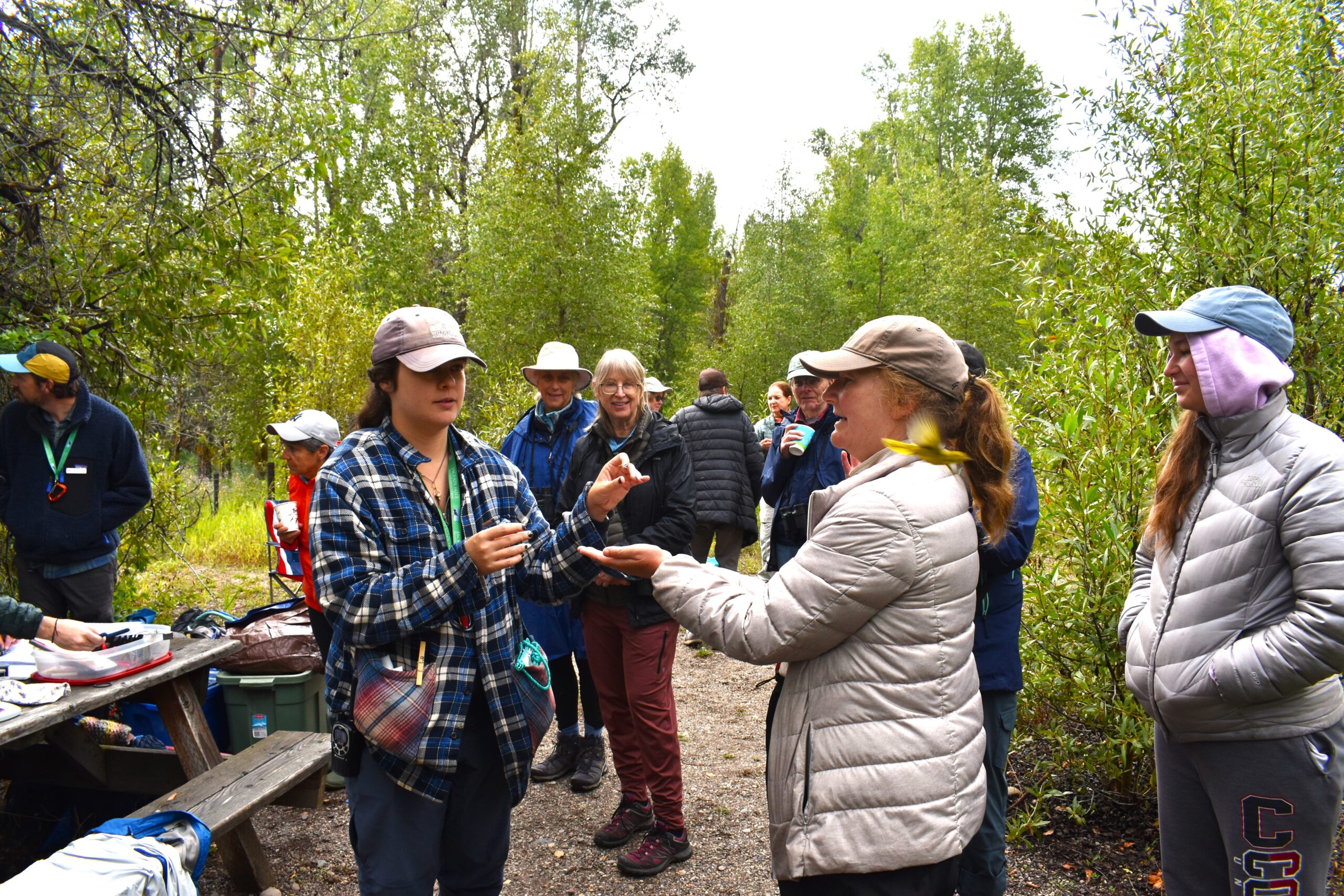
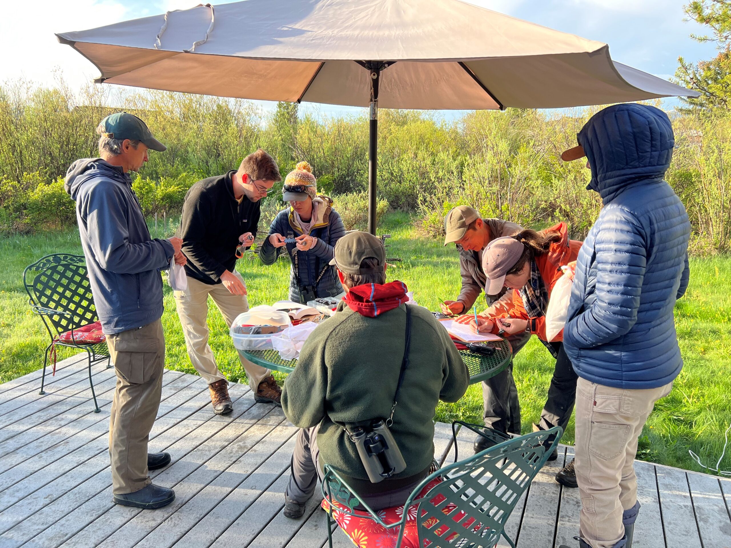
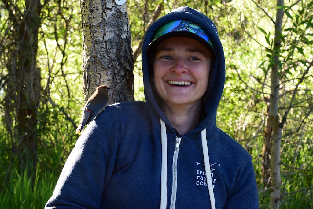
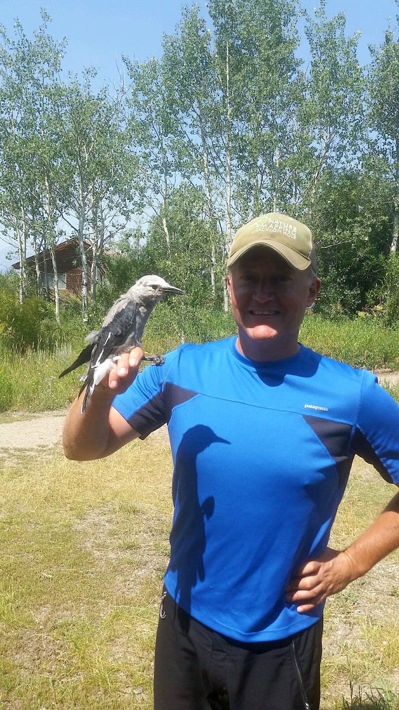
Starting in 2018, JHWF staff and volunteers began banding efforts at two MAPS stations — the original station in the park as well as a station located on private land, west of Jackson. JHWF often now has the pleasure of working alongside scientists from the Teton Raptor Center in order to help operate both MAPS stations in Jackson Hole.
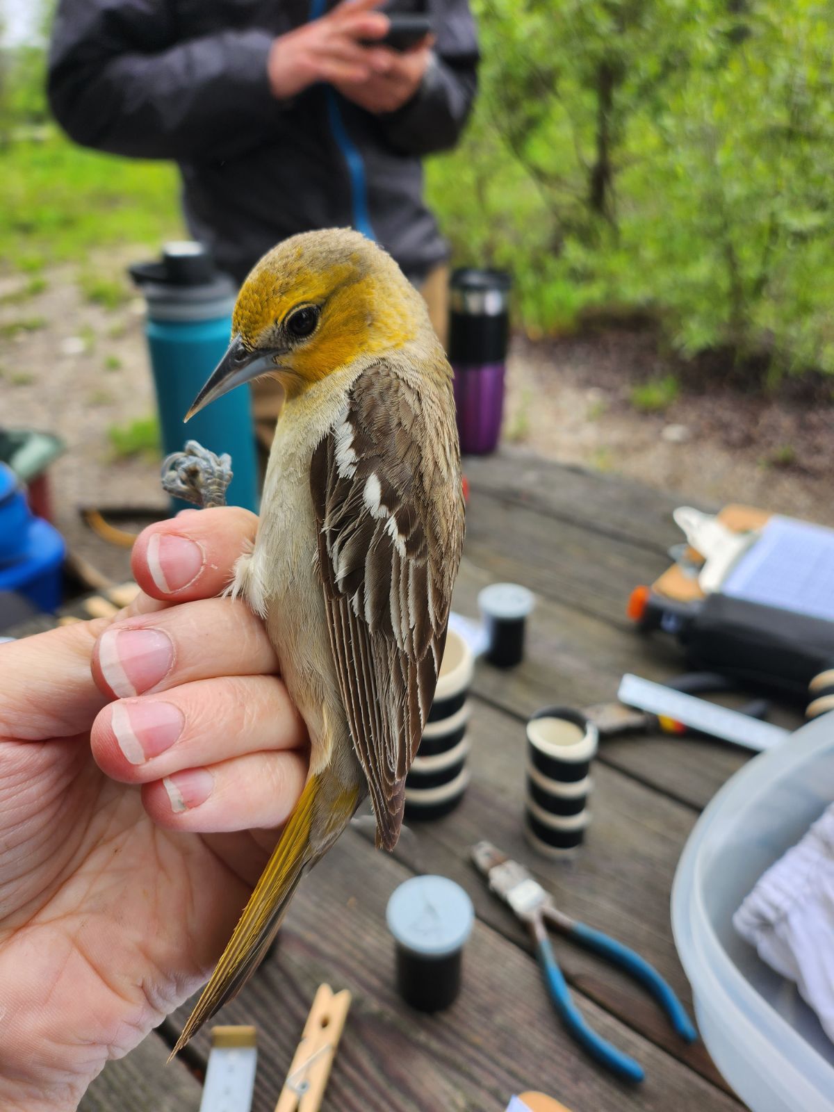
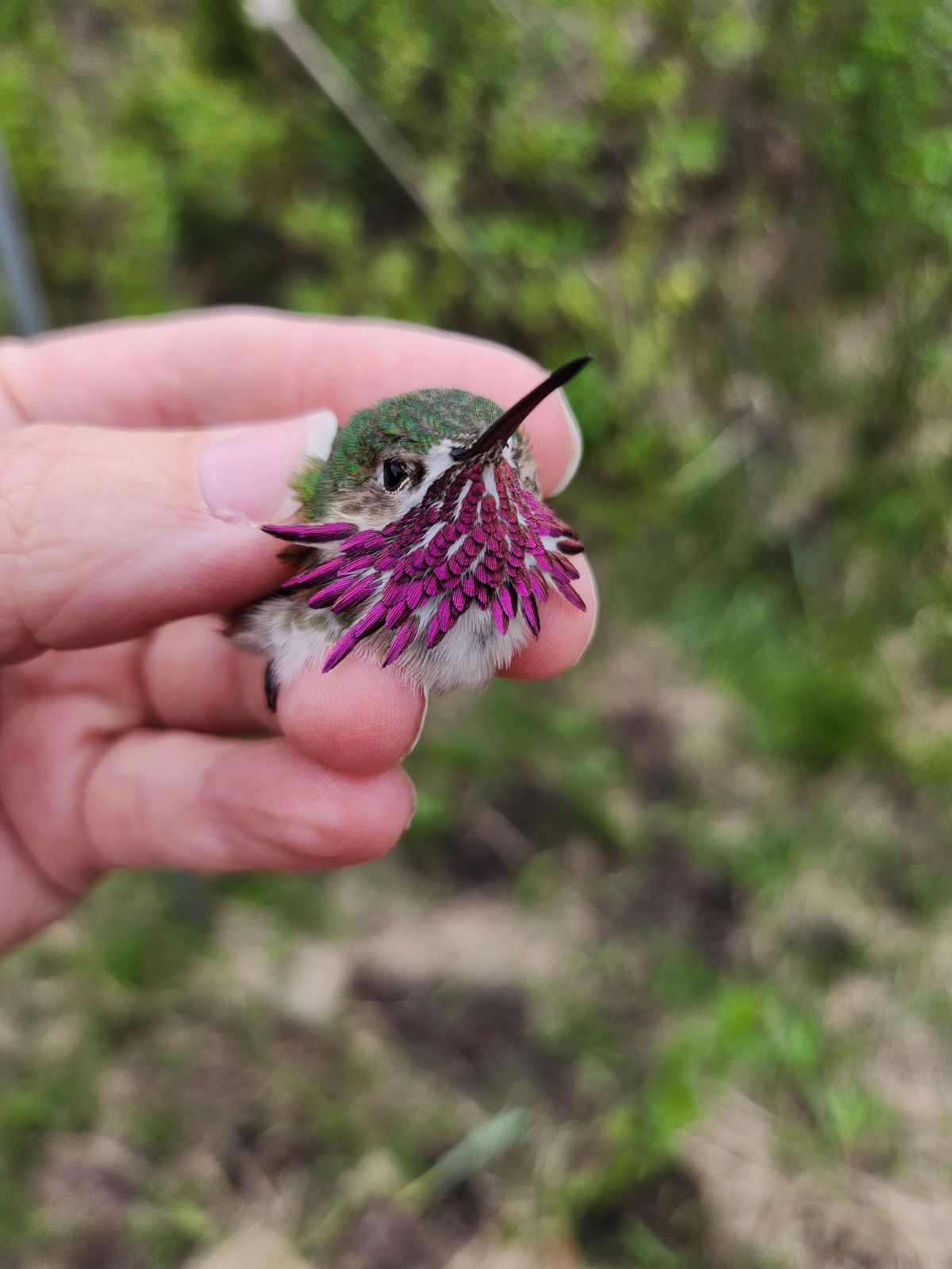
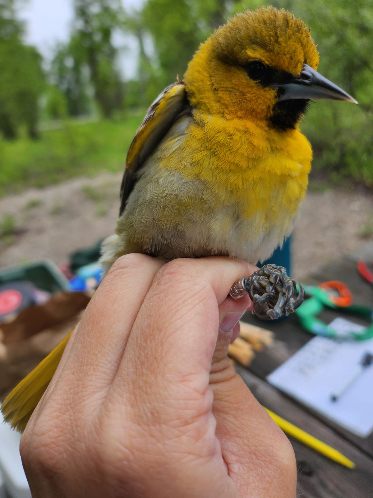
During the summer of 2019 we captured 619 individual birds of 41 species.The five most commonly captured species were:
- Yellow Warbler (117)
- American Robin (62)
- Song Sparrow (60)
- MacGillivray’s Warbler (35)
- Cedar Waxwing (32)
What is MAPS?
The MAPS, or Monitoring Avian Productivity and Survivorship, program is a cooperative effort to collect standardized data on North American landbirds. In doing so, we are able to recognize and monitor long-term trends in avian populations and, ultimately, identify factors that can lead to changes in those populations.
By increasing our understanding of these factors and their relationships, from a local to a continental scale, we are able to make informed conservation and management decisions. Furthermore, we will be able to measure the effectiveness of those decisions once they have been put into action.
Visit our MAPS Station!
Email jessie@jhwildlife.org to schedule a time to visit or volunteer at our banding stations.
Factors Influencing Avian Population Change:
PROXIMATE
- How successfully the population produces young (productivity)
- How long birds live (survivorship)
- How many young birds survive into adulthood to produce nestlings of their own (recruitment)
ULTIMATE
- Weather
- Habitat change
- Climate change
MAPS Stations
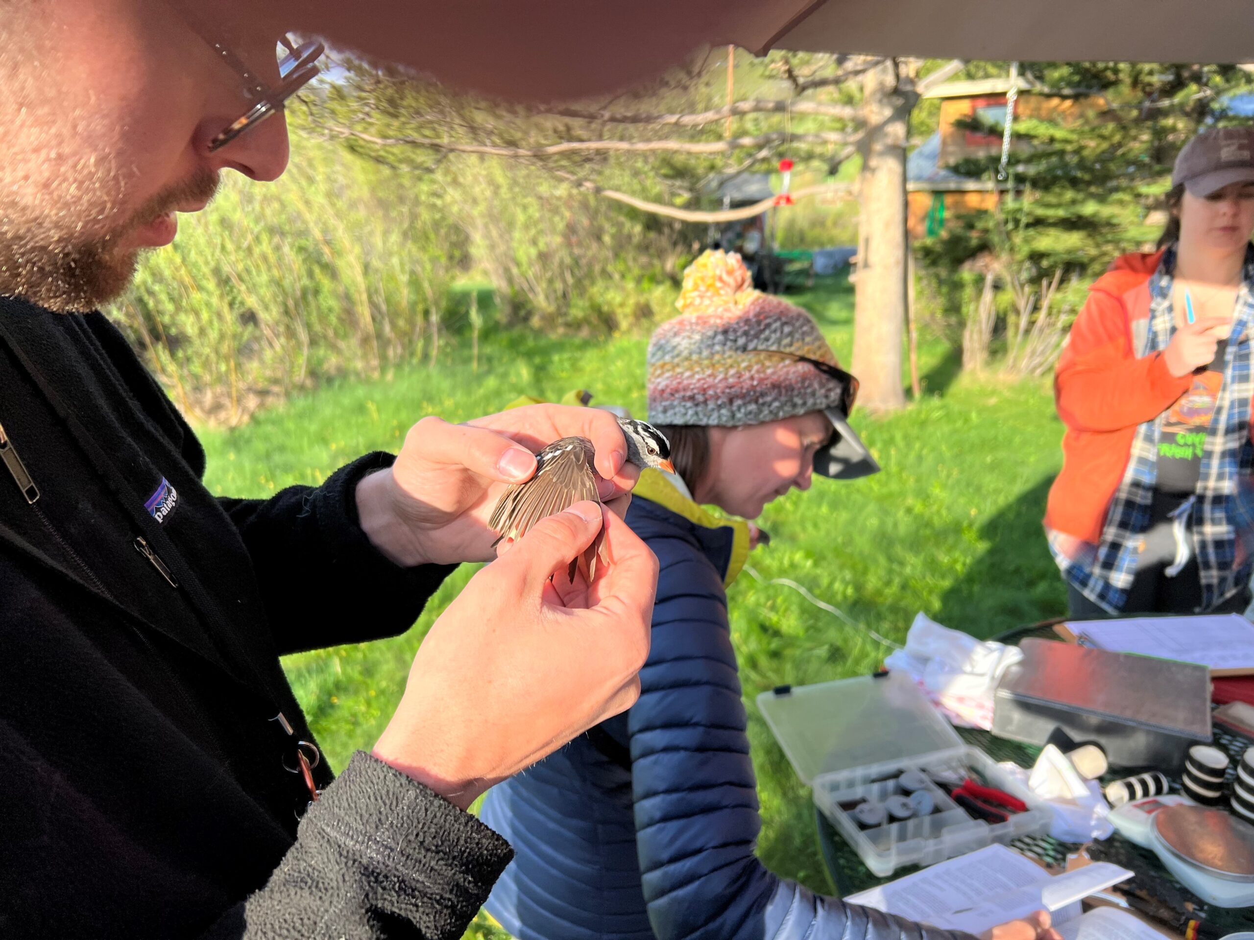
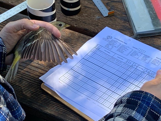
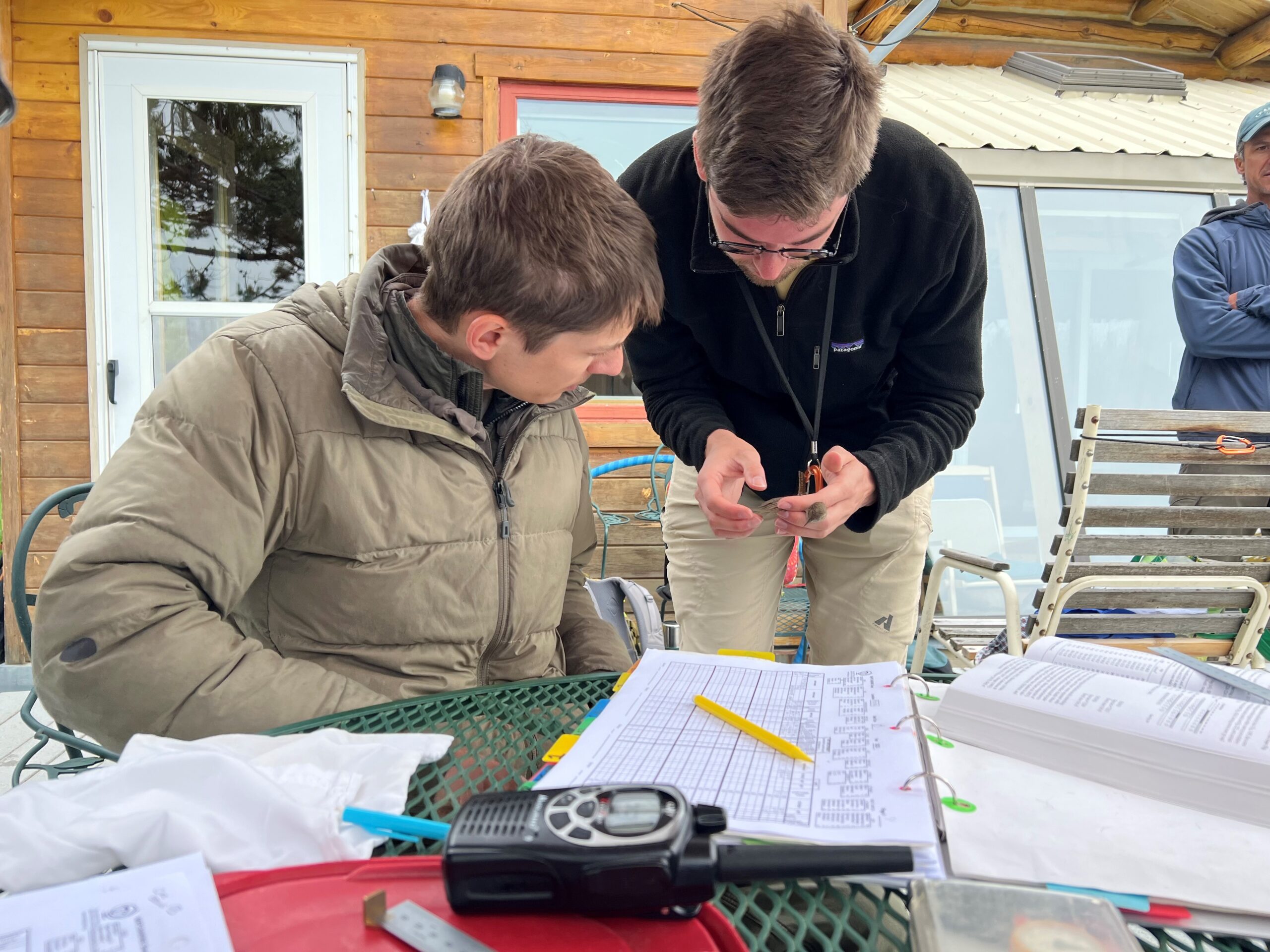
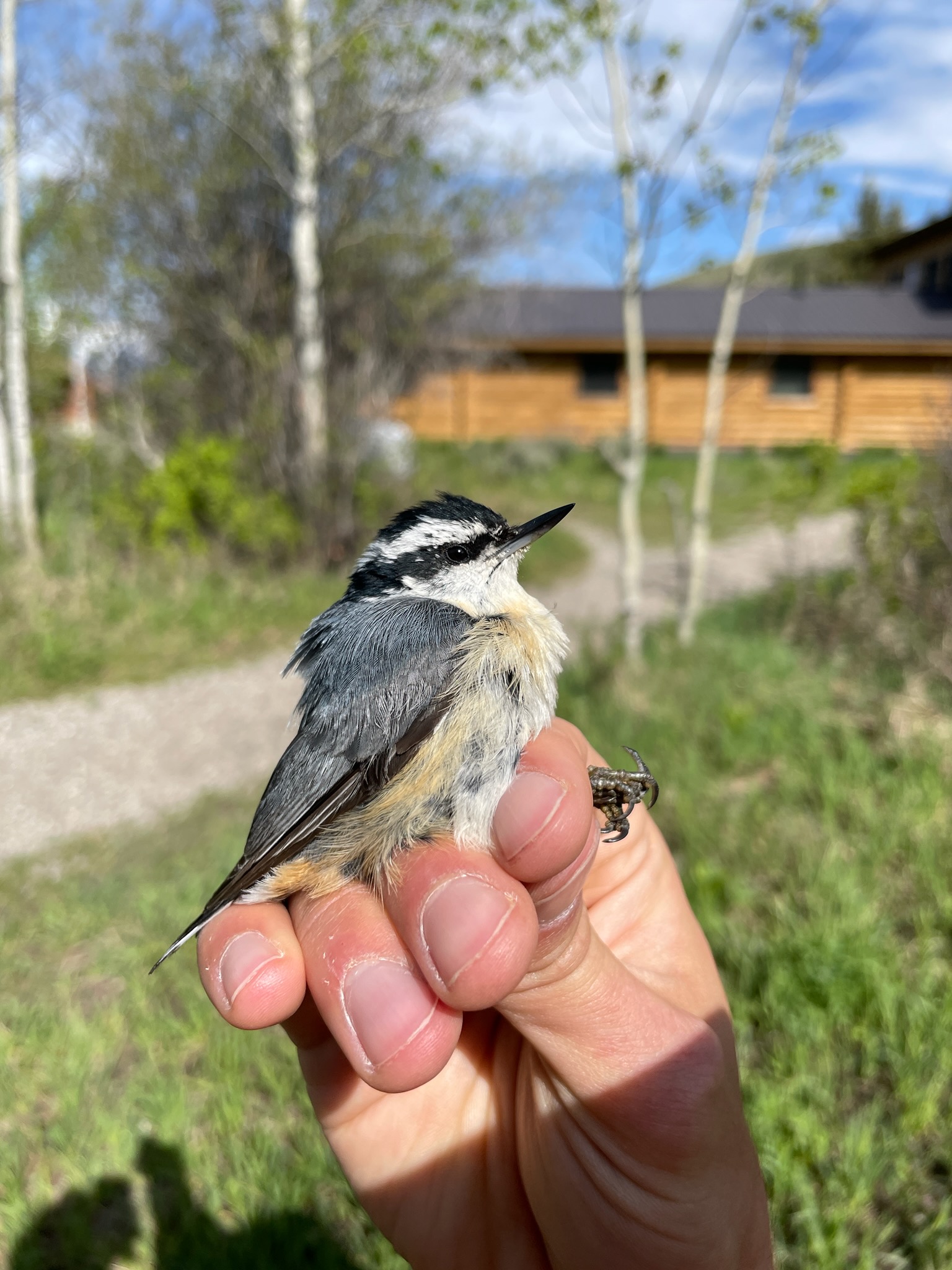
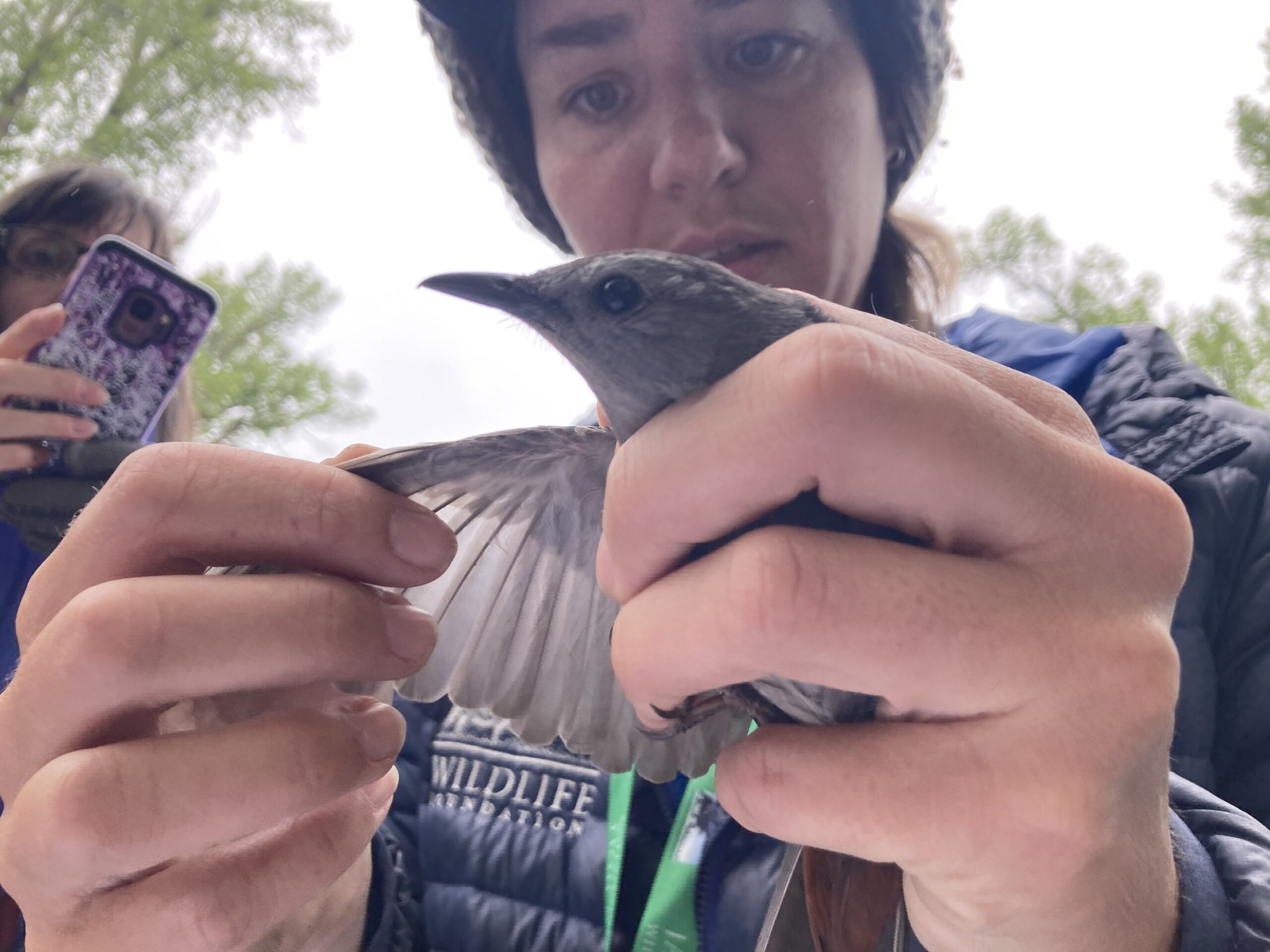
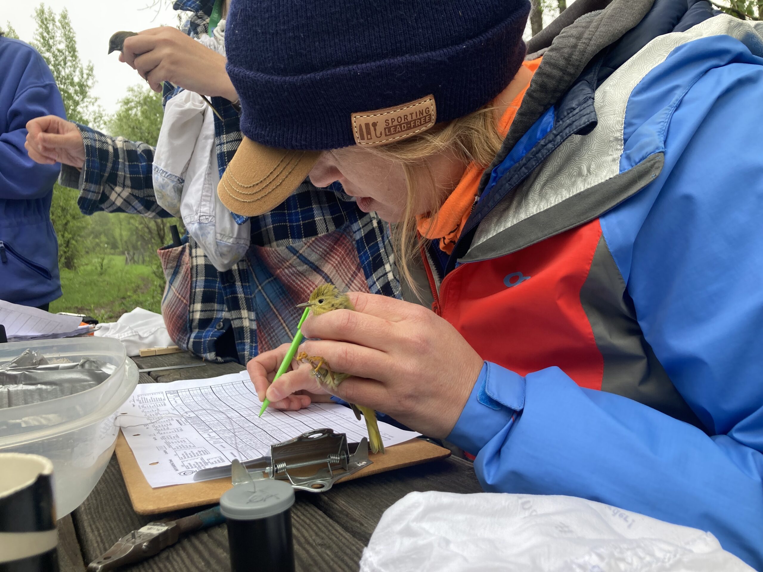
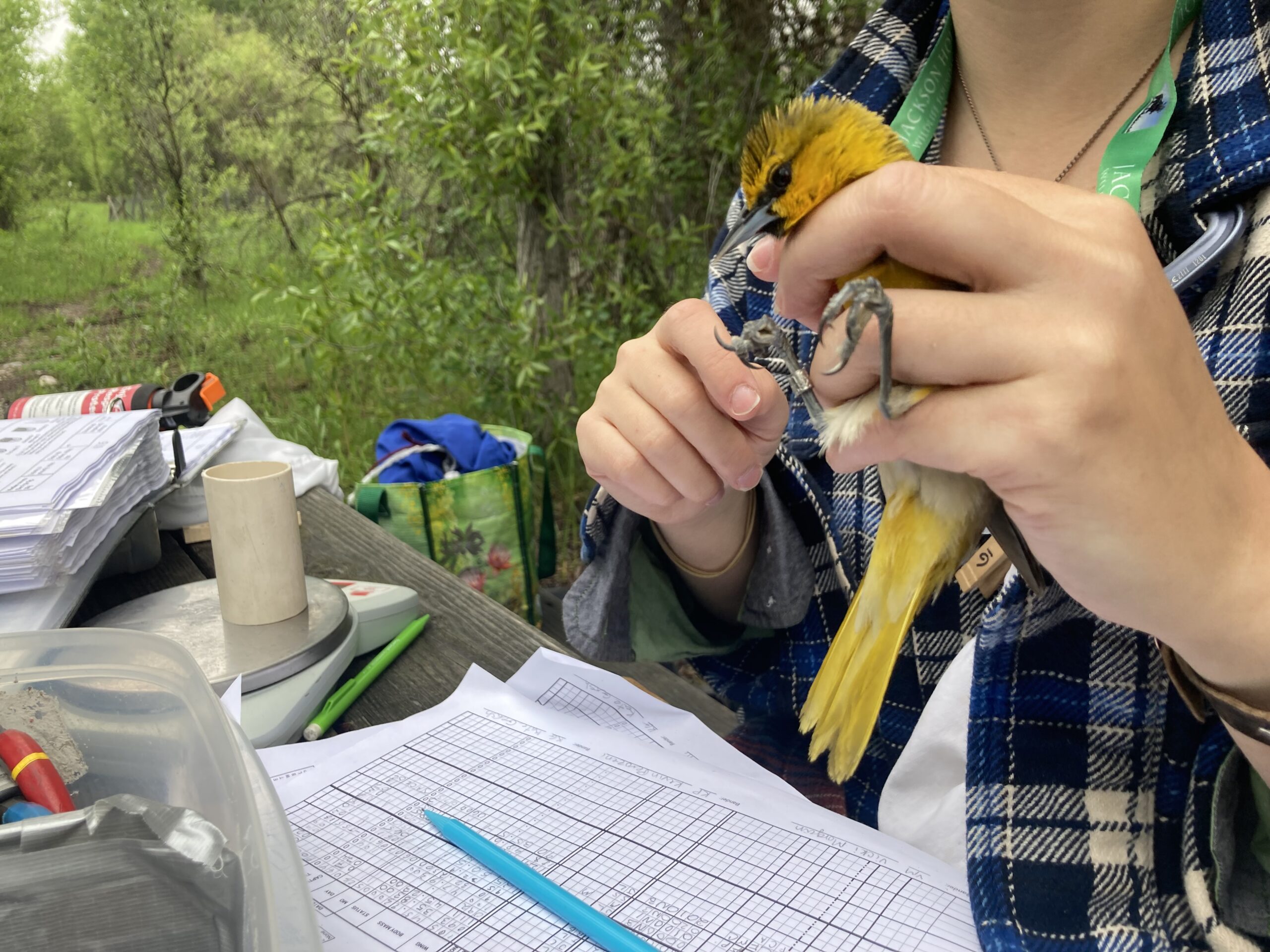
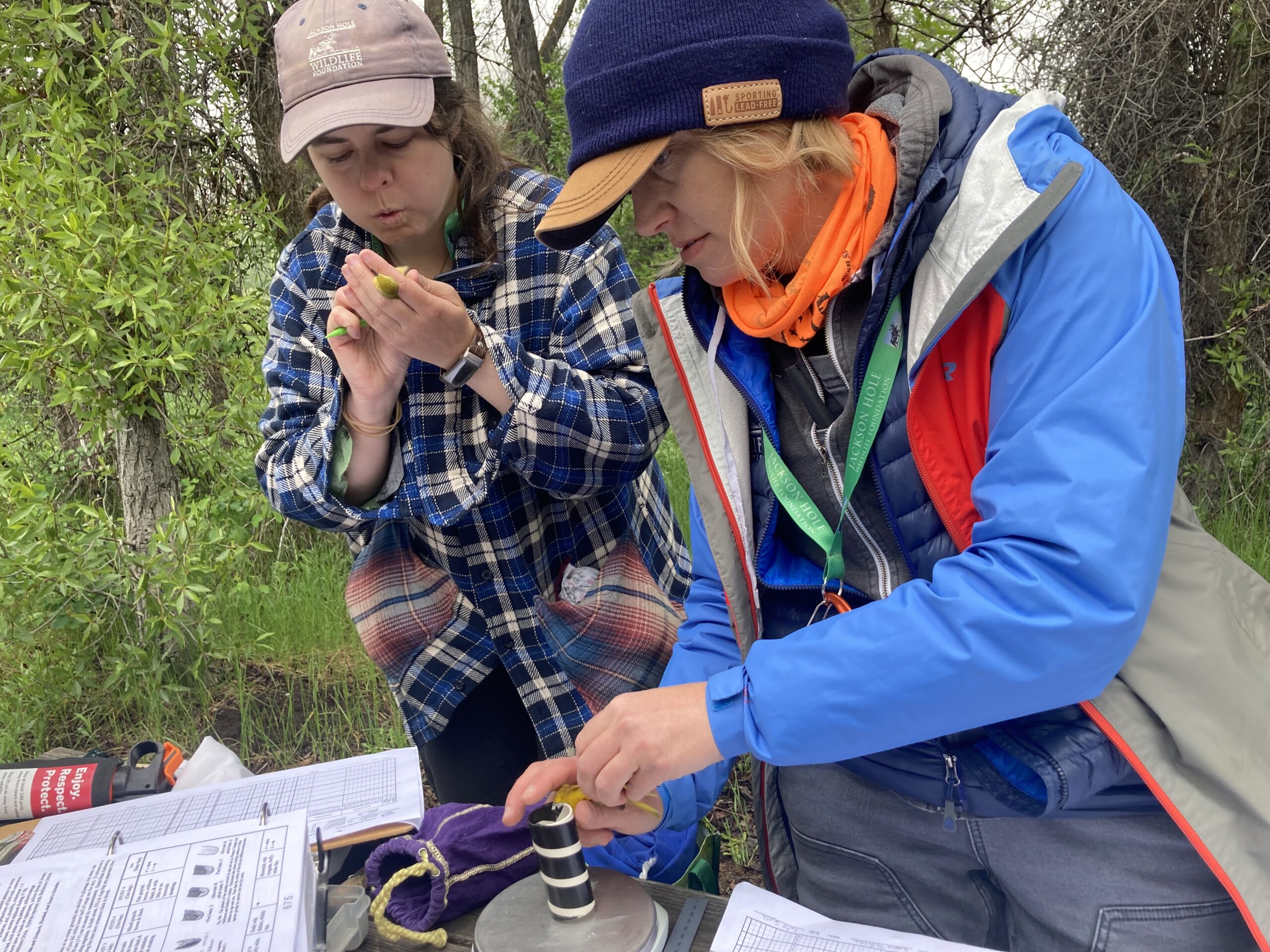
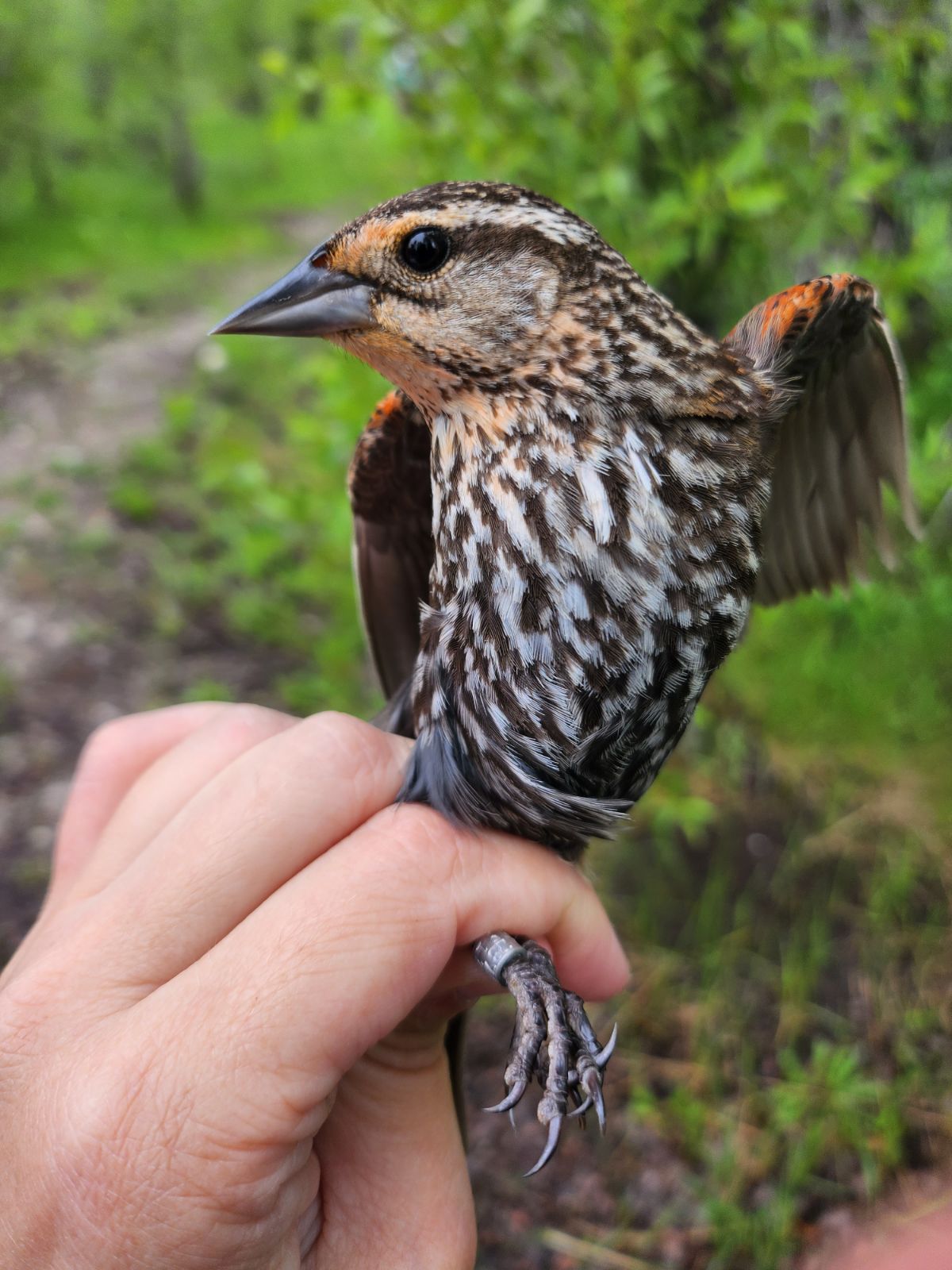
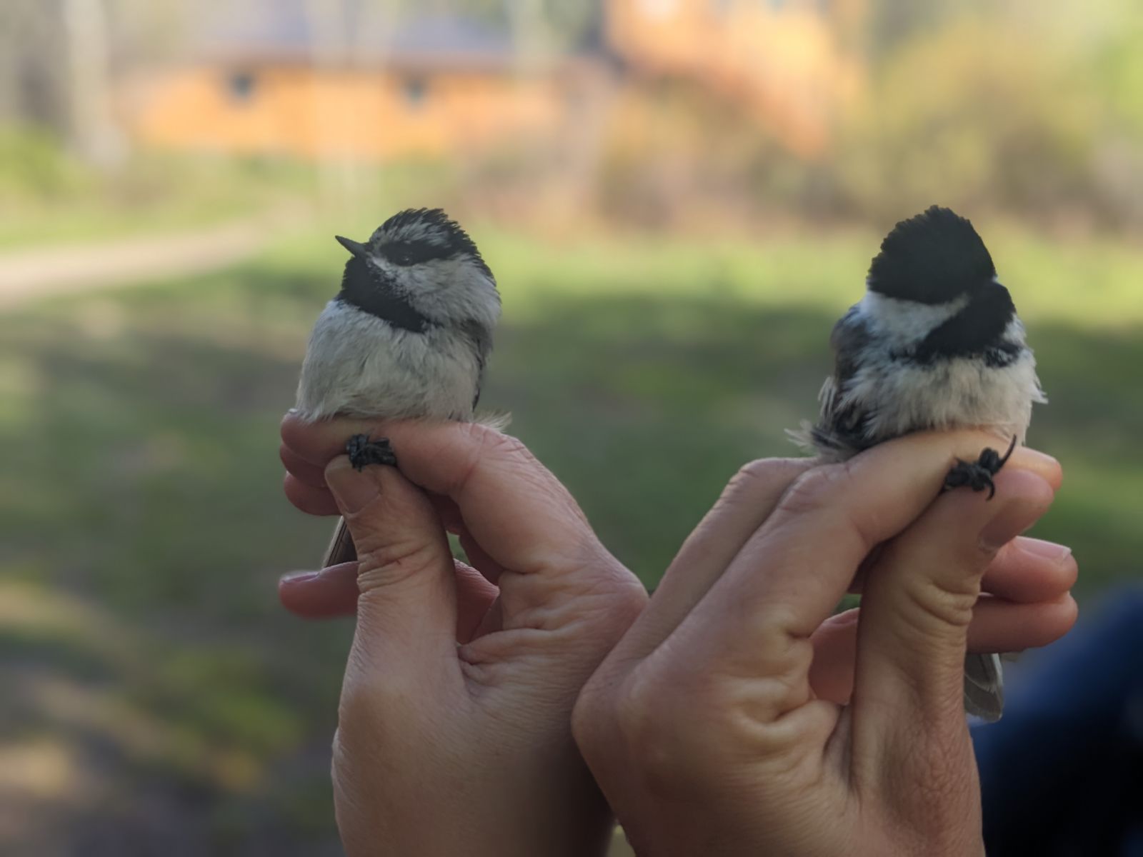
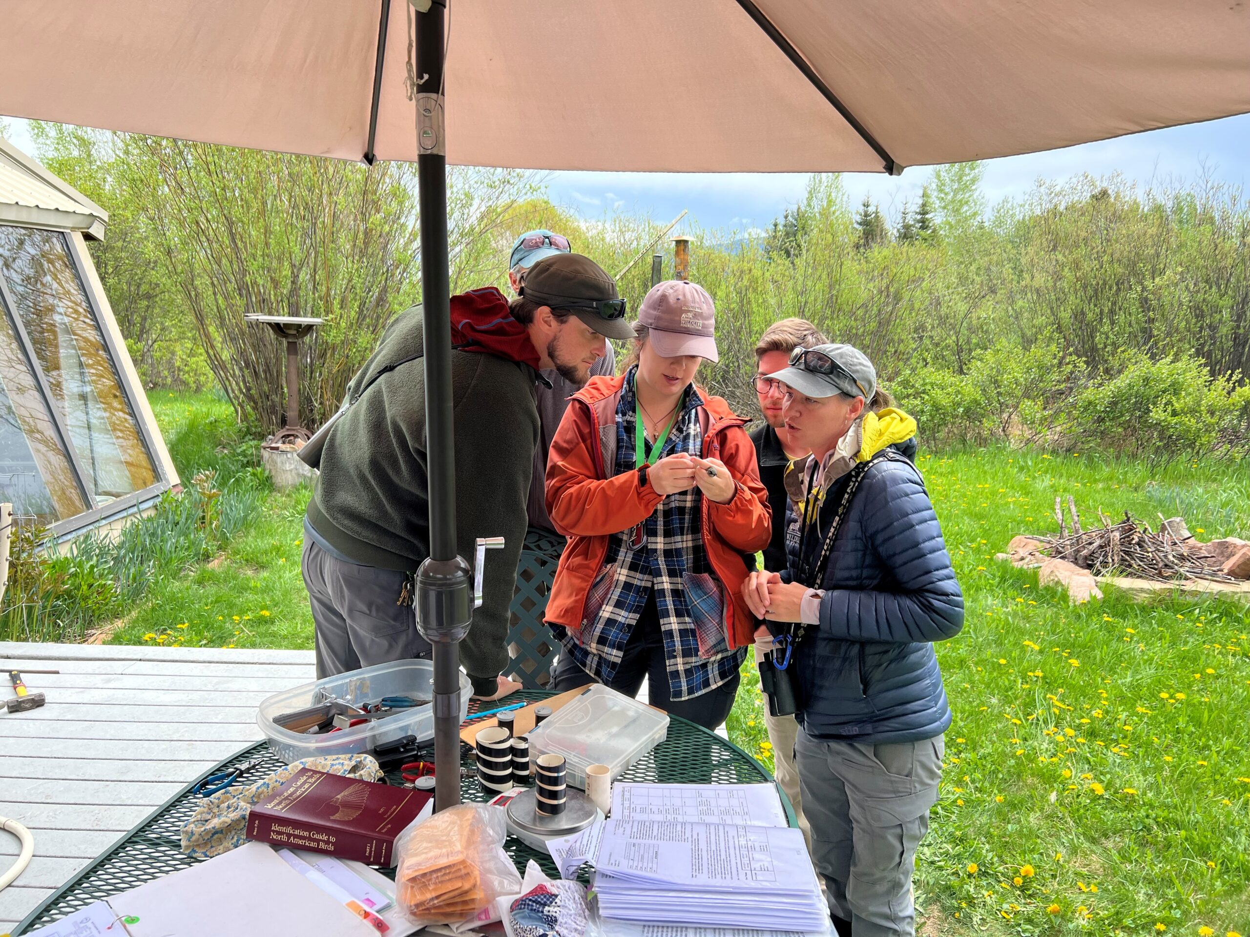
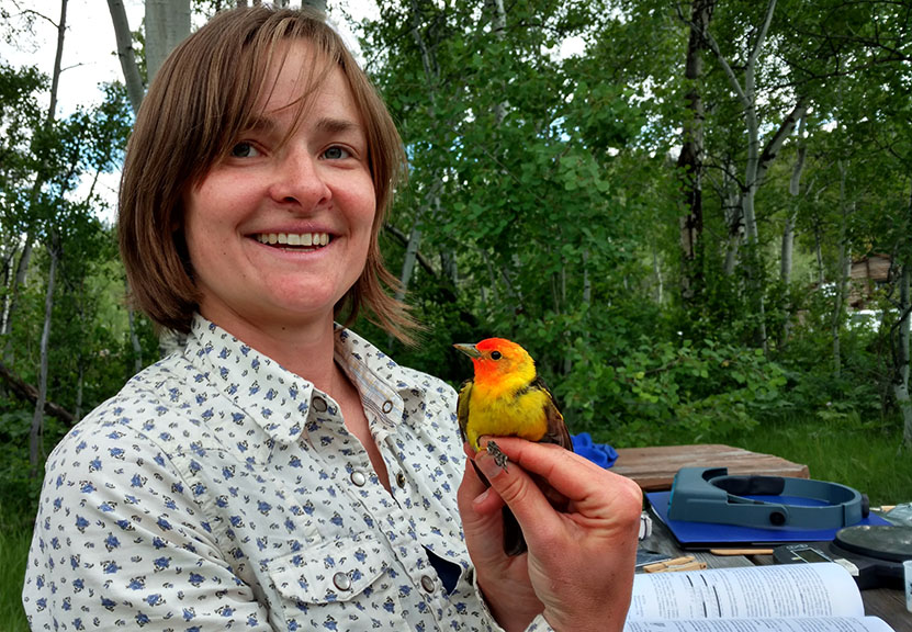
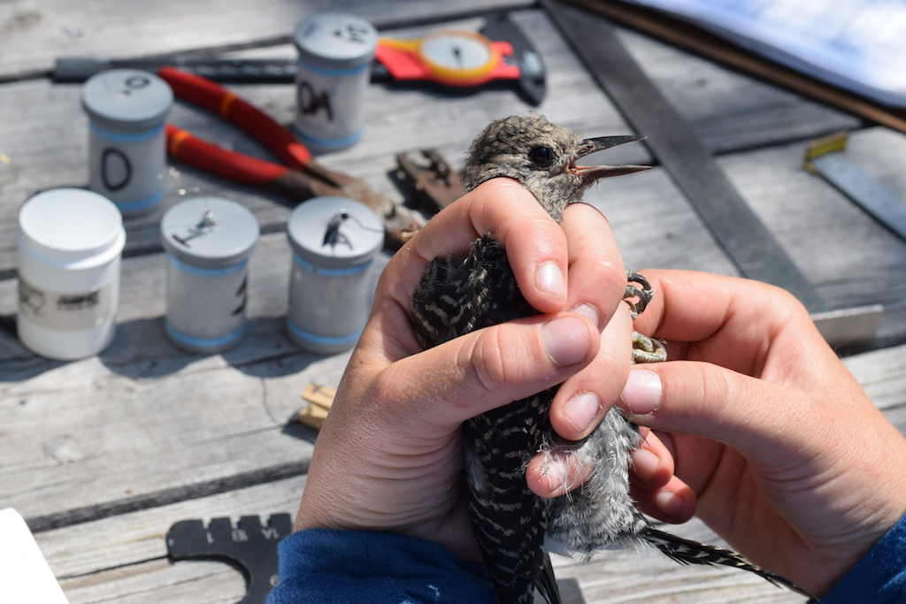
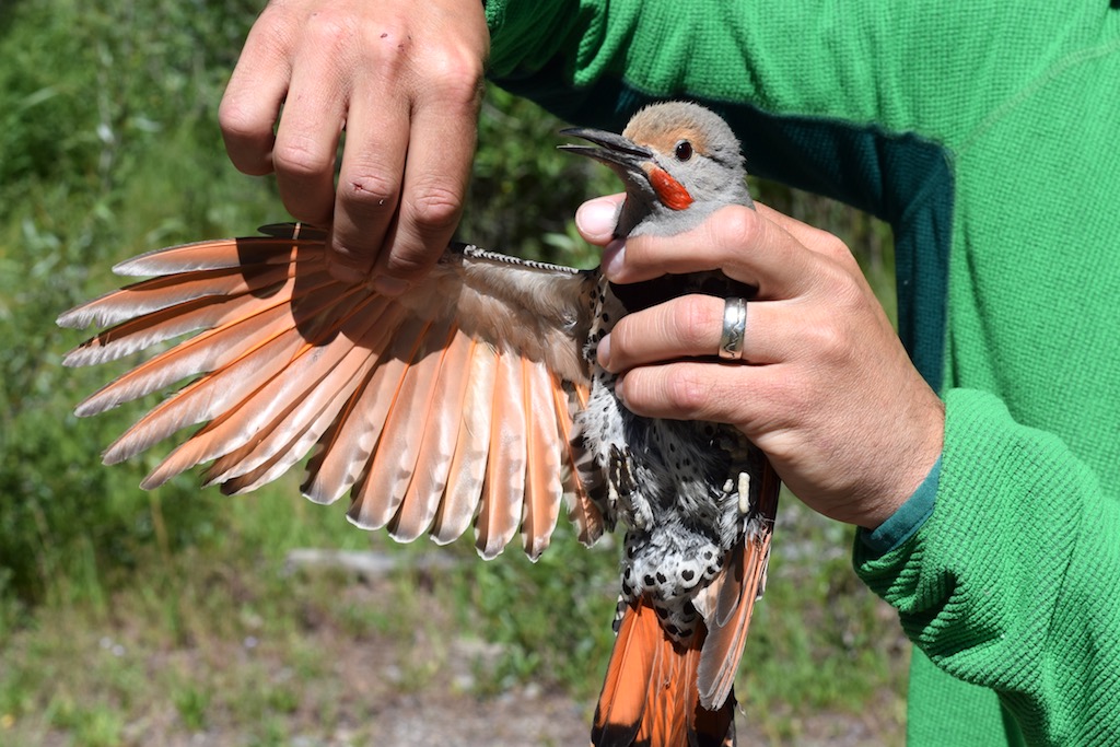
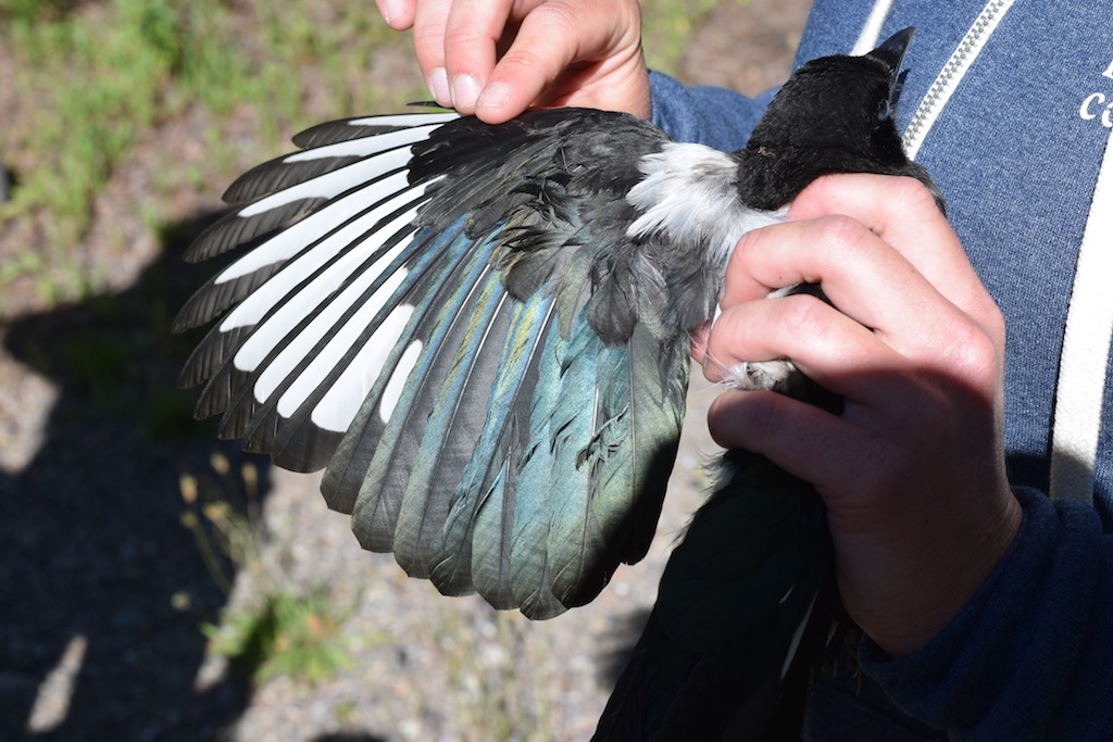
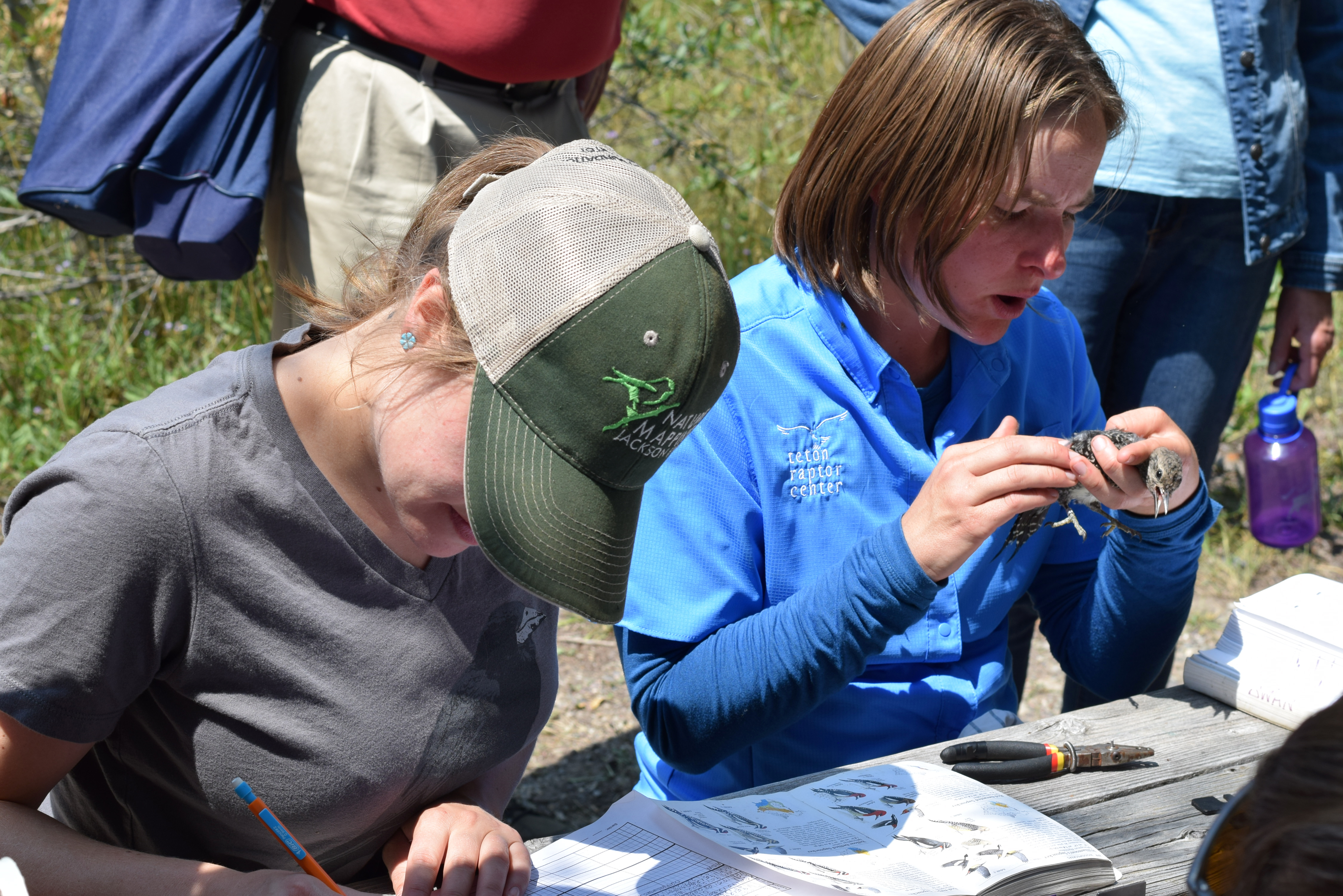
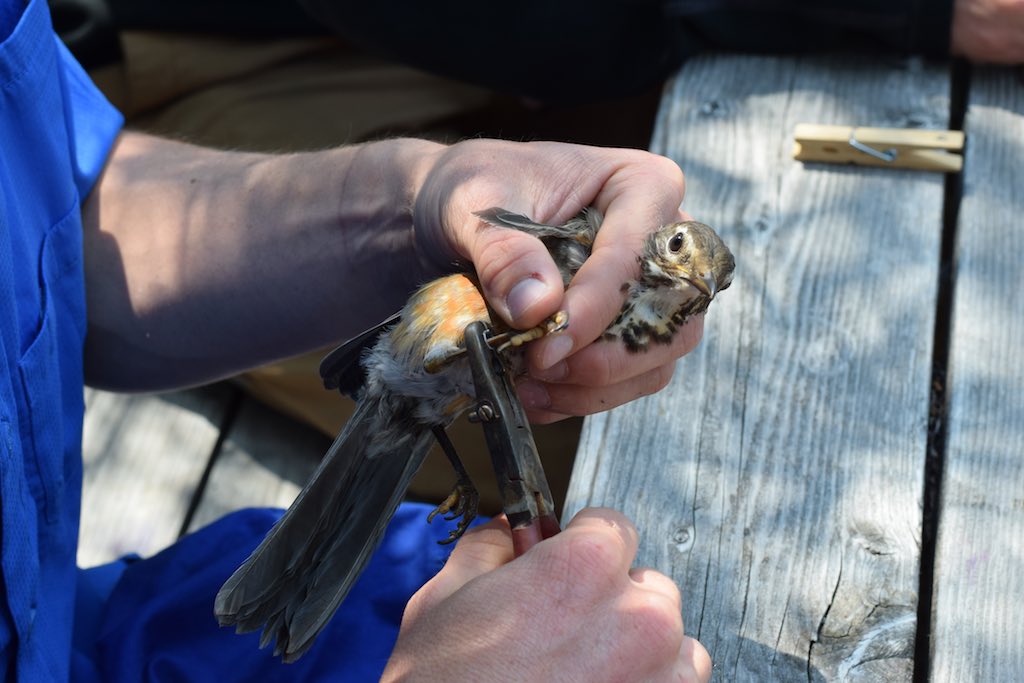
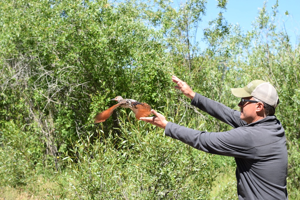
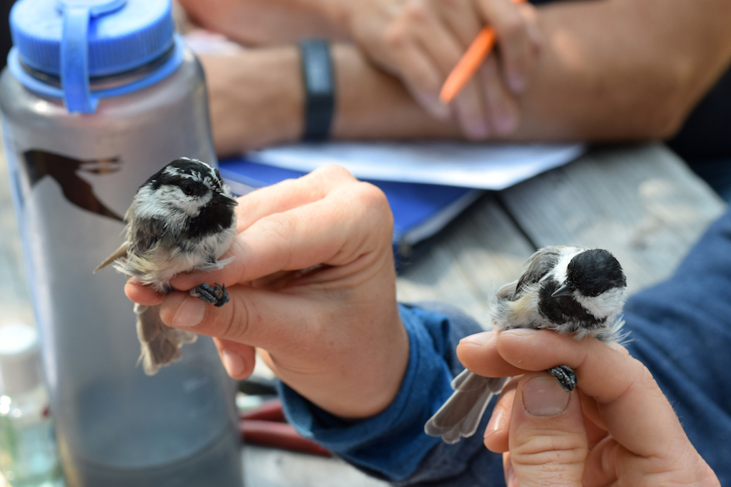
MAPS stations use mist nets, placed at permanent locations within a designated study area, to safely capture birds. Banders extract the birds from the nests and bring them back to a centralized location, where they take various measurements and place a USGS-issued aluminum band on the bird’s leg prior to releasing it.
Banding begins around sunrise and the nets are open for six hours during one day of every 10-day period. The season begins in May or early June, depending on latitude (that’s the first week of June for us, in Jackson Hole!) and runs through early August.
Note: Banders are trained and operate under special permits in order to handle wild birds. The safety of each and every bird is our priority and we are constantly checking in on the bird’s condition during the banding process.
Why Study Birds?
You mean, other than because birds are awesome?
You’ve probably heard the phrase “the canary in the coal mine.” Throughout most of the 1900s, canaries were used in coal mines as an early indicator of the presence of carbon monoxide and other toxic gases. By observing the activity of the canaries, the miners were alerted if conditions became unsafe and they needed to evacuate. In a similar way, birds serve as “sentinel animals” of environmental health.
Birds eat other organisms, whether seeds and berries or other animals (insects, rodents, even other birds), which they metabolize fairly quickly. Because of this, birds can bio-accumulate toxins and other compounds present in the organisms that make up their diet. In this way, the health of birds directly correlates to the health of the broader ecosystem. What’s more, birds are the most successful terrestrial vertebrate — they live on every continent and occupy a wide variety of habitats. They are active during the day and often easily heard and seen, making them easier to study than most other animals.
Plus, who doesn’t love birds?
To Learn More about MAPS:
- TSS Teton Research Institute: Bird Banding – MAPS Overview
- Teton Raptor Center (TRC) – 2017 MAPS Songbird Banding Summary
- Institute for Bird Populations (IBP) – MAPS: Monitoring Avian Productivity and Survivorship and Publication: Monitoring Landbirds in National Parks: Understanding Populations, Migratory Connectivity, and Climate Change.
- National Science Foundation (NSF) – Environment: Taking the Long View
Long-Term Monitoring
The MAPS program began in 1989, with 16 stations throughout the United States. Now, there are over 1300 MAPS stations in nearly every US state and Canadian province. The resulting data set exceeds 2 million avian captures!
Here in Jackson, our sites have been in operation for 27 years (Kelly) and 15 years (Jackson).
Why is it important to have long-term data?
According to the National Science Foundation (NSF), long-term research is important because:
- Changes in many ecological processes occur slowly
- Impact of relatively rare events can only be assessed when ongoing studies have been conducted
- Ecological processes vary from year to year and patterns can only be discerned from a long-term view
- Long-term studies provide a context in which shorter-term studies may be understood
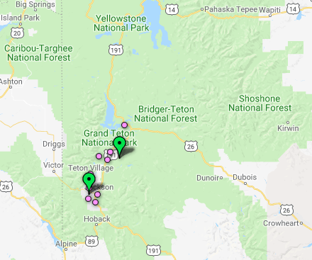
Photo Credits:
Henry Holdsworth
Mark Gocke
Steve Morriss
Sava Malachowski
Leine Stikkel
Tim Griffith
Jon Mobeck
Jackson Hole Wildlife Foundation
Office Location:
25 S. Willow St., Suite 10
Jackson, WY 83001
Mailing Address:
PO Box 8042
Jackson, WY 83002
All rights reserved.
Privacy Policy