Sign up for a Nature Mapping Training
We have trainings for new Nature Mappers available on January 10th and February 7th. Click the button below to register!
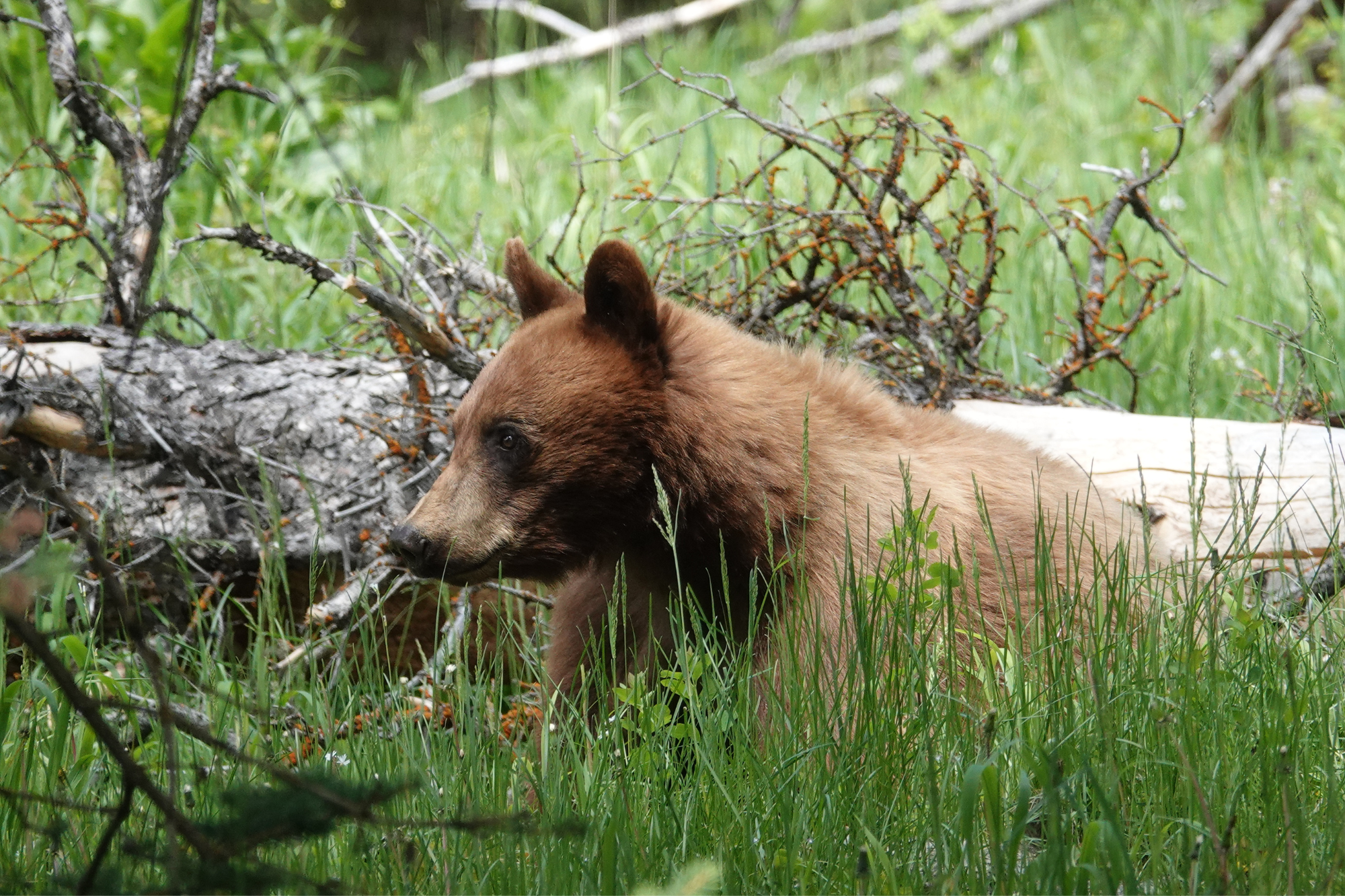
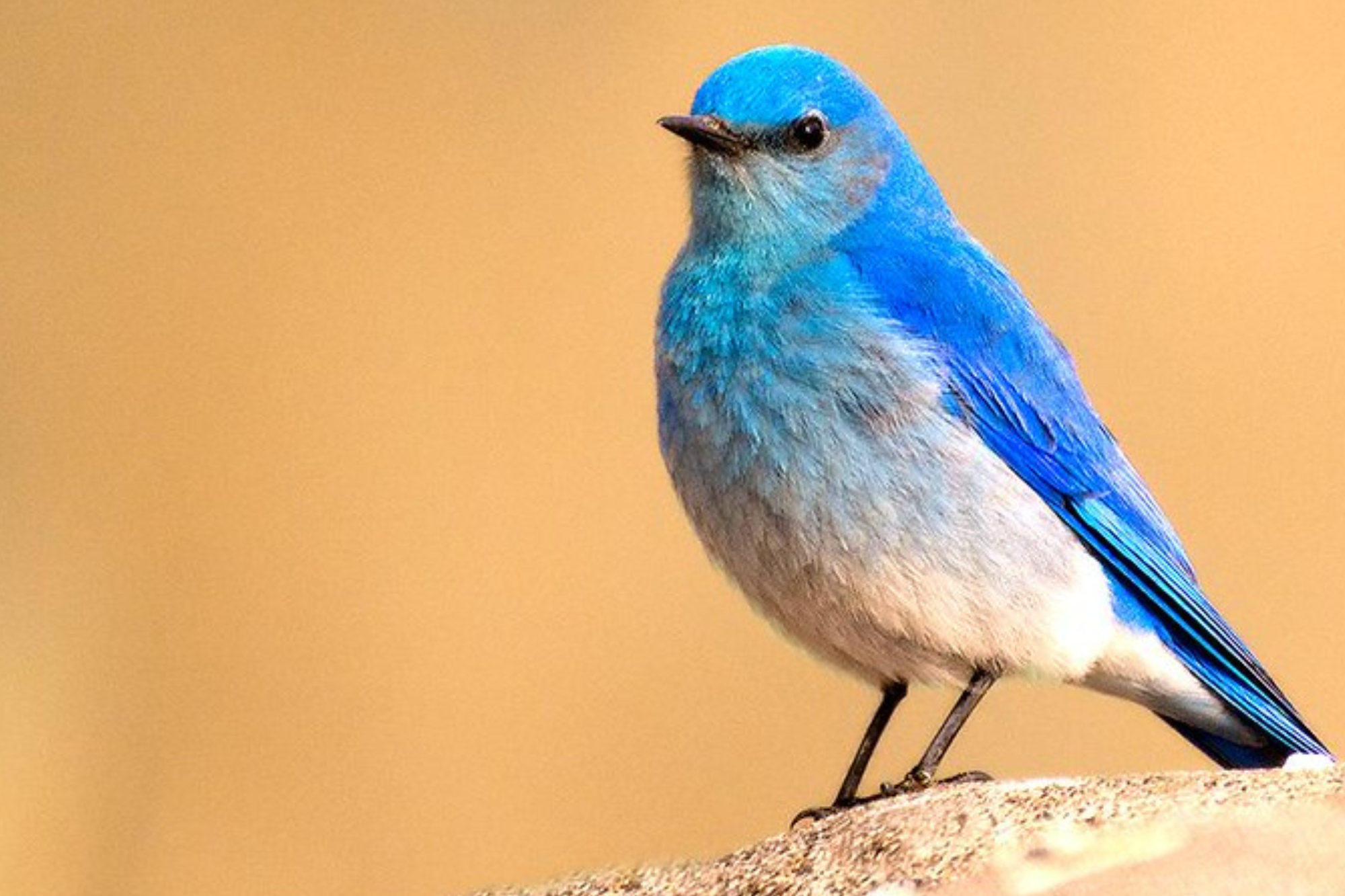
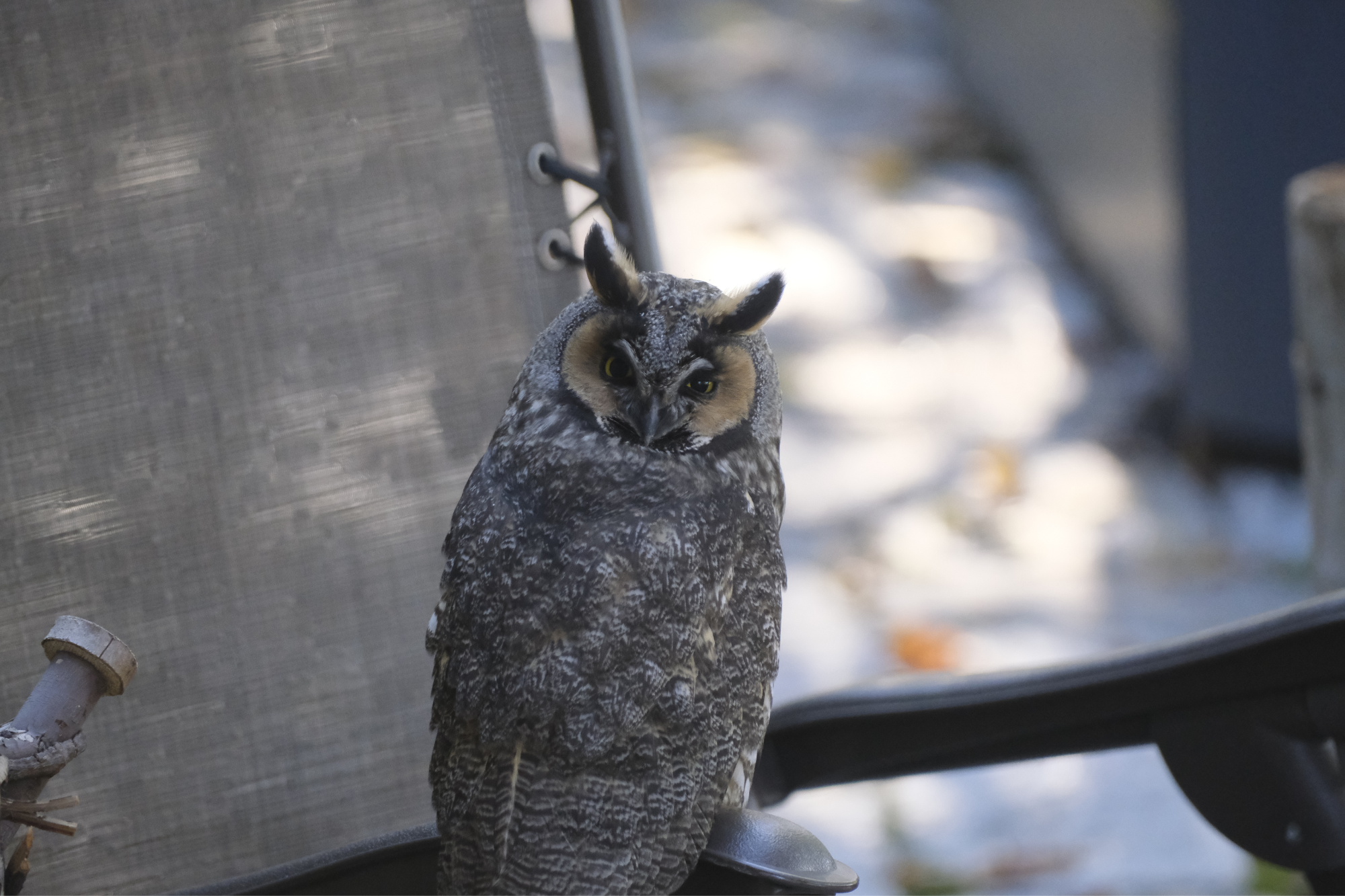
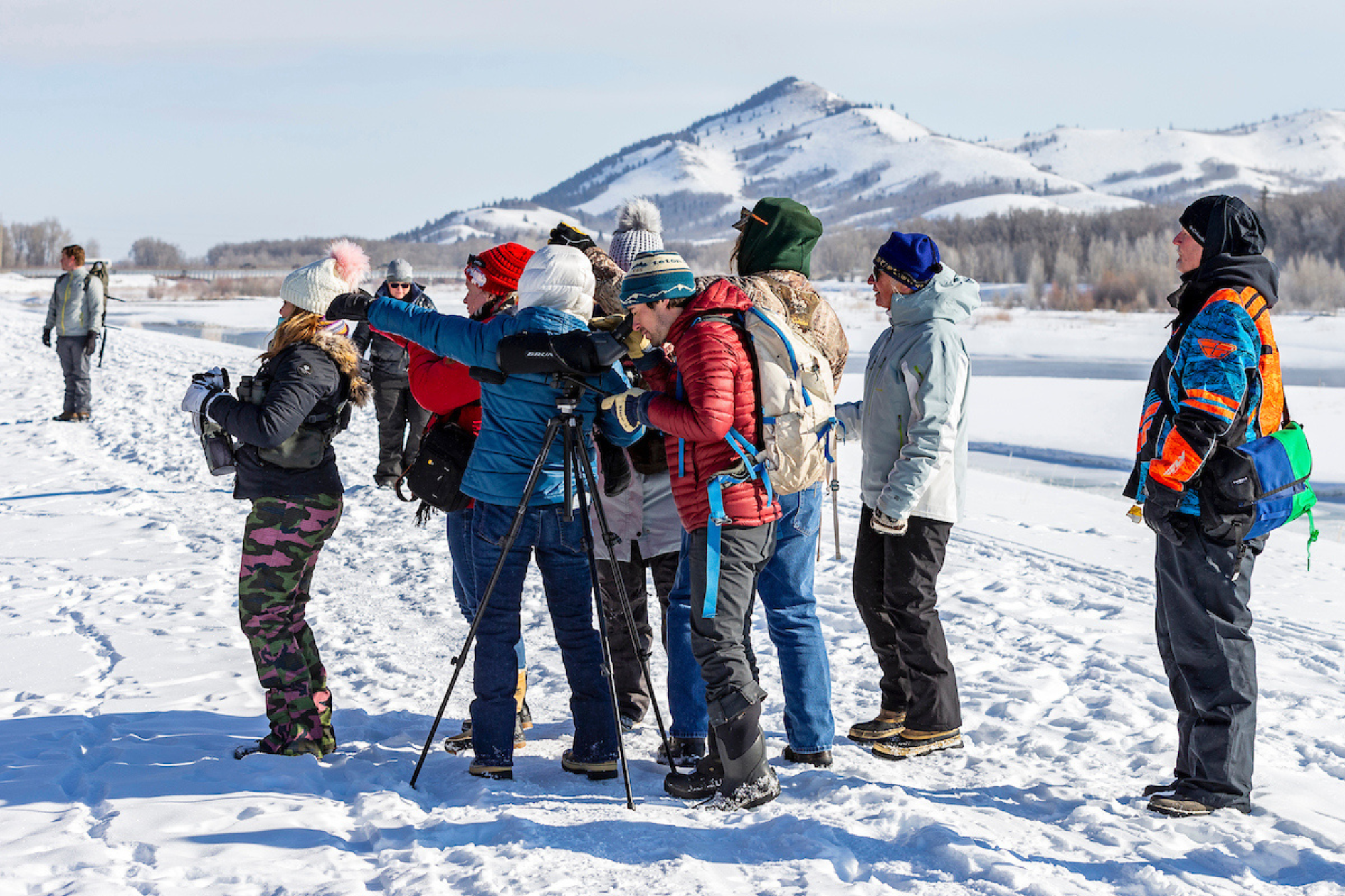
About Nature Mapping Jackson Hole
Nature Mapping Jackson Hole (NMJH) is a wildlife-data collection program of the Jackson Hole Wildlife Foundation. It includes observations reported from Teton County WY, Lincoln County WY, and Teton County, ID and relies on submissions of trained volunteers. Prior to submitting wildlife observation data through this program, volunteers are required to take a certification course where they are trained in data collection protocols and species identification. Each wildlife observation submitted to the NMJH is ultimately vetted by a wildlife biologist to ensure data quality.
After being verified, data are made available upon request to private parties, as well as to partners such as the Wyoming Game and Fish Department, National Parks Service, US Forest Service, and others where they can be used to inform wildlife and land management decisions. To date, over 90,000 wildlife observations have been verified and shared with our partners.
")
It’s fun to open somebody’s eyes the way mine were opened. You can sit there and see them get the spark and think, there, I’ve ruined another life. They’re gonna be bird watchers. Satisfying.
Making a Data Request
Data may be provided to individuals or organizations on a demonstrated need basis for single use purposes related to the appropriate conservation and management of wildlife in Teton County, WY. Data requests submitted by agencies, research organizations and land management organizations which may positively influence wildlife management decisions are encouraged.
At no time should Nature Mapping data (partial or in total) be redistributed by the recipient to third parties. Data recipient should direct all other parties to request data directly from the Jackson Hole Wildlife Foundation. Data may not be provided to any entity for the creation of independent datasets.
Nature Mapping
Below are several of our most popular NMJH activities. Click on an activity below to learn more and find out out to get involved.
Casual Observations
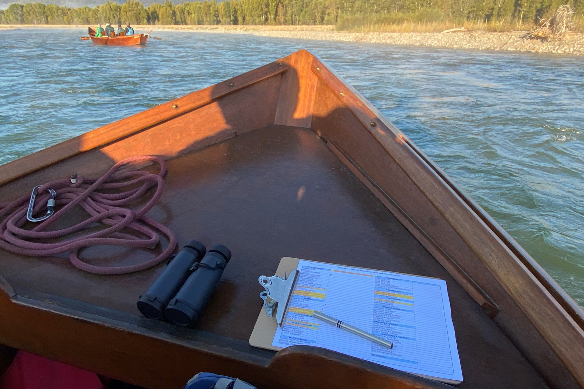
Project Backyard
Moose Day
Nature Mapping Jackson Hole Database
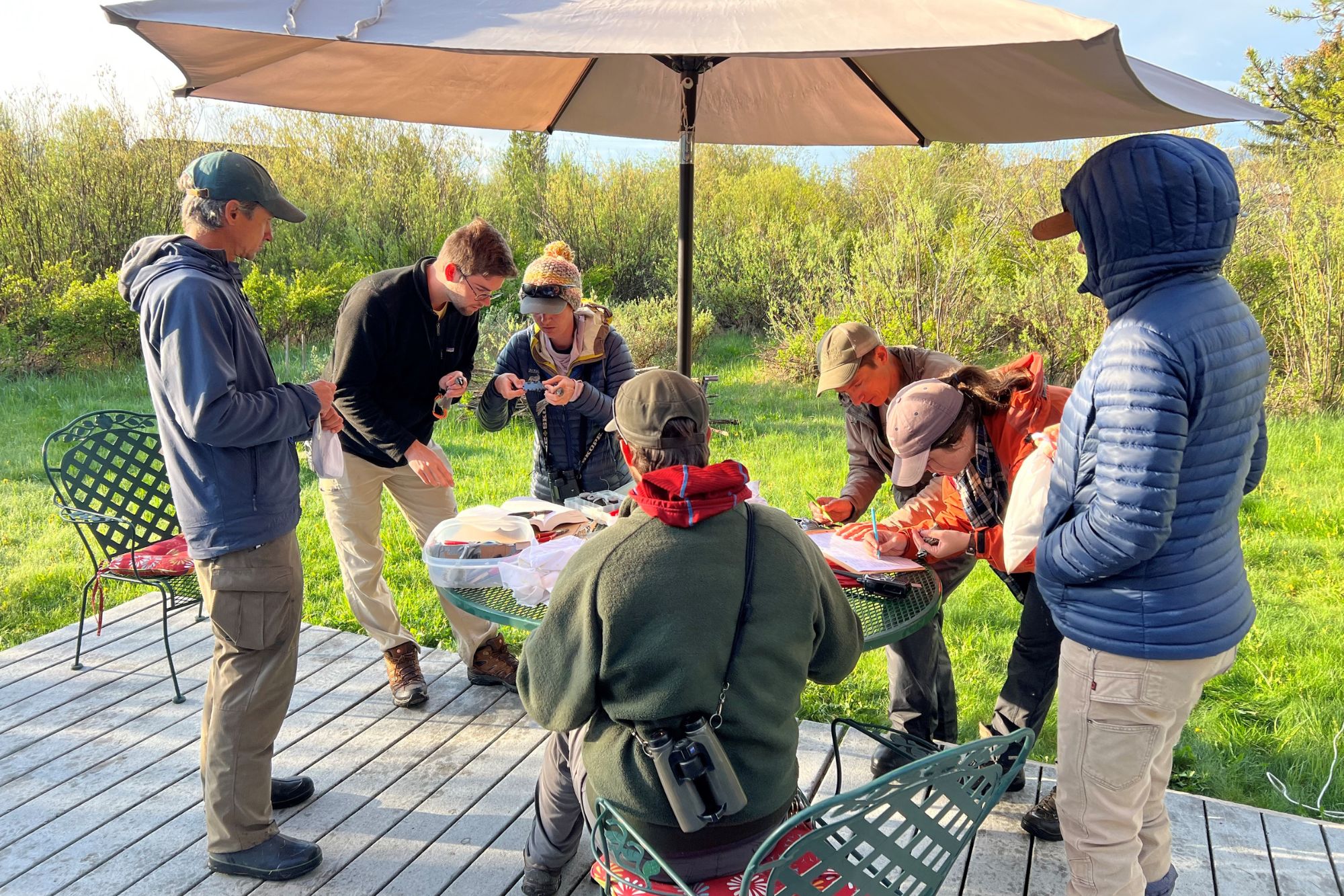
Nature Mapping Jackson Hole data are held in a central database owned by the JHWF. NMJH assists state and federal agencies and local research organizations by collecting data that on all species. Importantly, this includes those that are understudied and underreported. Agencies can rely on Nature Mapping data accuracy because several quality checks are performed. First, citizen scientists are required take a training in which they are educated about how to use the Nature Mapping app and database. The training also includes a section on wildlife identification. Once trained, Nature Mappers have access to continuing education opportunities, such as wildlife identification seminars, field trips, and electronic newsletters which increase their knowledge of local wildlife, therefore enhancing the quality of data they collect. Finally, all data are vetted by local biologists. These volunteers, often agency personnel, look at each report individually and follow up with citizen scientists about their sightings if need be.
Creating a long-term dataset on all species, collecting data on private and public lands, and providing a corps of community naturalists to work collaboratively on projects that lack resources, are niches Nature Mapping fills in Jackson Hole’s wildlife-rich community.
Find a Nature Mapping Training
Certification trainings are now virtual and are generally offered bi-monthly by JHWF staff and a Lead Volunteer. Reach out to us for information on the next available training!
Goals of Nature Mapping
Nature Mapping Jackson Hole is a long-term, citizen science research project with the goals of:
1. Keeping common species common (we solicit observations of all species, not just high profile, charismatic megafauna).
2. Increasing citizen’s knowledge of and appreciation for wildlife in the Greater Yellowstone Ecosystem.
3. Engaging citizens in long-term wildlife data collection.
4. Contribute wildlife data to natural resource management agencies and development planners to inform management decisions that favor wildlife.
Total Observations
NMJH Accounts
Moose Observed on 2022 Moose Day
2022 Moose Day Volunteers
A History Thanks to Meg and Bert Raynes
Nature Mapping Jackson Hole was founded in 2009 by a group of dedicated volunteers and local biologists under the Meg and Bert Raynes Wildlife Fund. In 2011, a cooperative partnership between the Jackson Hole Wildlife Foundation and the Meg and Bert Raynes Wildlife Fund transitioned control of the database to the JHWF in order to build on the initial success of the Nature Mapping Jackson Hole program.
Photo Credits:
Henry Holdsworth
Mark Gocke
Steve Morriss
Sava Malachowski
Leine Stikkel
Tim Griffith
Jon Mobeck
Jackson Hole Wildlife Foundation
Office Location:
25 S. Willow St., Suite 10
Jackson, WY 83001
Mailing Address:
PO Box 8042
Jackson, WY 83002
All rights reserved.
Privacy Policy