
by jhwildlife | Mar 7, 2017 | Blog, Nature Mapping Jackson Hole
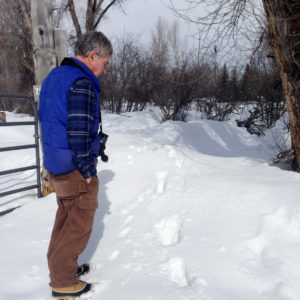
Earle Layser spots moose tracks in West Jackson
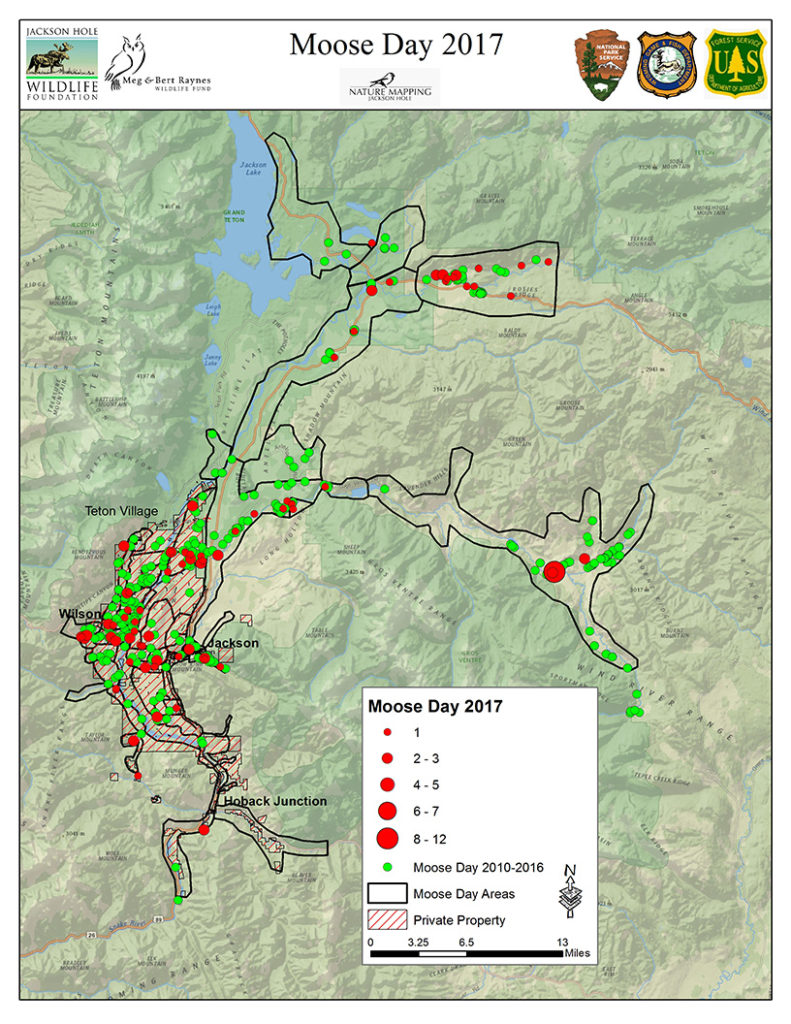
Moose Day 2017 set a record for community participation and for the number of moose counted. We extend our thanks to the Nature Mappers and new recruits as well as, biologists from Wyoming Game & Fish Department, Grand Teton National Park and U.S. Forest Service. All volunteered their time from 7 a.m. to 12 noon on Saturday, February 25.
This year, a total of 33 teams, comprising 83 volunteers counted 166 moose, contributing over 290 hours time.
This exceeds our previous record of 124 moose in 2011, and the 99 moose seen last year. Volunteer numbers are well over our 65 person average. In 2016, we had 73 participants helping with the count. This was our 9th annual Moose Day.
Volunteers snowmobiled, snowshoed, drove, walked and most of all, climbed up snow banks to scout moose! Many were rewarded by seeing moose — in some cases many! Successful surveyors often had local tips or tracked fresh moose sign to find hidden individuals. In other cases, neighborhood teams were disappointed to not see the moose that was “there yesterday” and saw no moose at all. However, zero (0) moose is important data as well. And, it is clear that moose move!
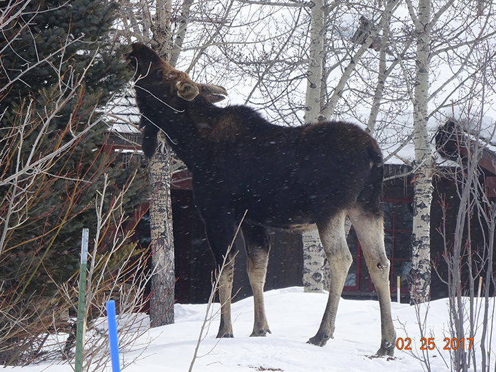
A moose feeding by Randy Reedy
Where were the moose this year? It appears they were attracted to low-lying willow wetlands, such as Buffalo Fork Valley, along the Gros Ventre River and in Wilson. For instance, Kerry Murphy and his U.S. Forest Service team were able to survey the Gros Ventre all the way east to Darwin Ranch. Along this route, often with extensive willow stands, they surveyed 57 moose! Much closer to civilization, moose were seen browsing on exotic shrubs in Jackson or loafing in the shelter of buildings. In a few spots, moose were even congregating close to horses.
Where were moose missing? Often in areas of extremely deep snow, such as the northern stretches of Grand Teton National Park and at the base of the mountains along Fish and Fall Creek Roads. Other wide open areas had little browse for the amount of effort it would take to reach it. Fortunately, most reports indicate moose were in good condition.
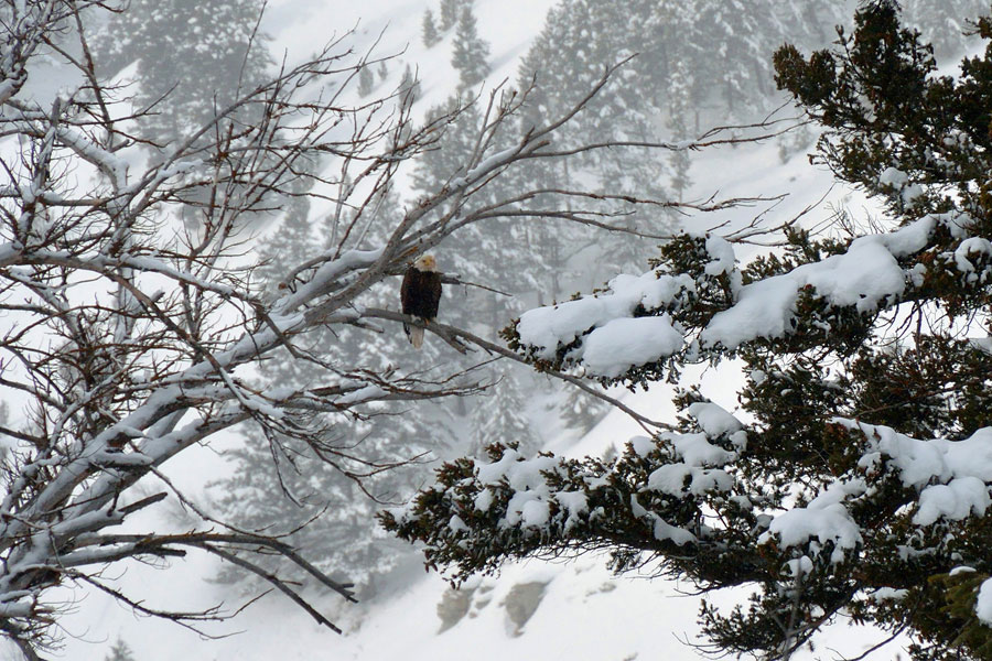
Other critters like Bald Eagles were mapped, too. Photo by Alice Cornell
Whether Nature Mappers saw moose or not, they reported a good time. Many observed (and mapped) other critters as well: wolf, coyote, Trumpeter Swans, otter, beaver, Bald Eagles, elk, Red Crossbills, a dipper and other birds. Teams of friends and strangers enjoyed each other’s company for the morning, and over 30 volunteers showed up at E.Leaven for lunch to share their stories. Moose Day is very much a community event!
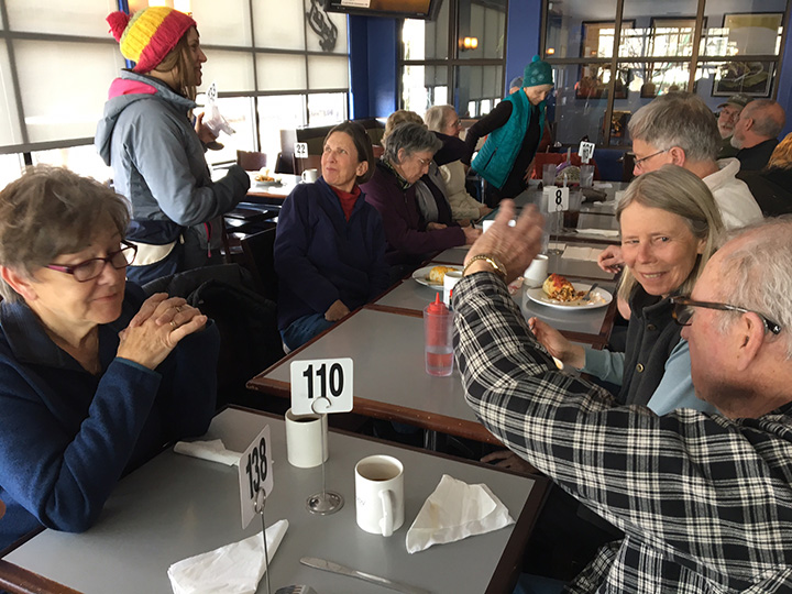
30 moose mappers recounting the morning’s count at E. Leaven. Photo by Frances Clark
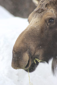
Moose munching by Mary Lohuis
Moose Day is important because we survey moose on private lands, where public-land biologists rarely go. We thank the Snake River Ranch, Snake River Sporting Club, Jackson Holf Golf & Tennis, and Trail Creek Ranch as well as, homeowner associations and individuals for granting permission for us to survey their private property. Without their support we would not have counted so many moose!
Next, Paul Hood and Aly Courtemanch will analyze the data and produce a formal 2017 Moose Day report. This report will enable biologists to determine trends in moose populations and planners to understand where moose roam and rest.
Again, many many thanks to the Nature Mapping Jackson Hole community for caring about our Teton County moose!
Frances Clark
Moose Day Coordinator
Note: Moose By The River photo by Alice Cornell
by jhwildlife | Feb 27, 2017 | Blog, Nature Mapping Jackson Hole
by Susan Marsh
When Nature Mapping Jackson Hole began in 2009, Project Backyard (PBY) was born. It was the first systematic observation protocol developed for Nature Mapping Jackson Hole, meant to augment the casual observations that people recorded while driving or wandering along the mountain trails. What’s the difference between PBY and casual observations, and why does it matter?
A good example may be taken from our first attempt at counting moose on a single day for Nature Mapping Jackson Hole, prior to the start of the organized Moose Day, for which observers are assigned specific areas. On that first count we had lots of observations, but many of them turned out to be the same dozen moose in the Antelope Flats area. It became clear that casual observations could only give so much accuracy on a single day.
What was the best way to achieve a more systematic approach that would be easy for people to work with? Asking homeowners to record what they saw from their backyards seemed like the answer.
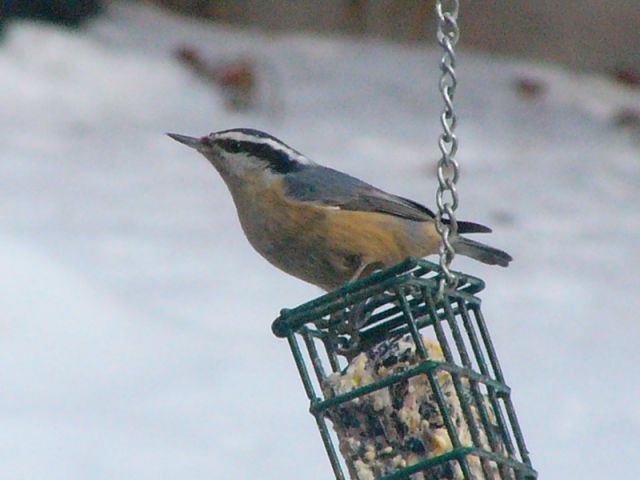
Participants in PBY make weekly observations, recording the maximum number of each species seen during a single week. No need to use a GPS unit – anyone participating in the project enters the coordinates for their location once, and they come up automatically each time. You can do it less frequently than weekly, and you don’t have to sit watching the bird feeder all day – just note what you see.
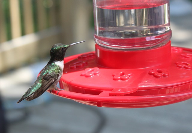
The response has been remarkable. Over 19,140 observations have been made in Project Backyard. These observations are particularly valuable as they provide information about the wildlife living in, or moving through, our neighborhoods and agricultural lands. While the federal agencies and Wyoming Game & Fish Department conduct wildlife counts on public land, they are often geared toward particular species, such as the classification count each February on the National Elk Refuge. Private lands are not included in agency counts since access is not always granted. But if you live there, you can provide valuable insights. It is through private citizen observations that we know about where small elk herds are moving as they increasingly stay the winter in the Wilson area and elsewhere on the valley floor – especially in this high-snow year. It is through citizen observations that we know the winter of 2016-2017 has been a low year for many species of songbirds that are often seen in higher numbers at feeders.
We collect this information not just for our edification. Nature Mapping Jackson Hole receives requests from the county, environmental consulting companies, researchers, non-governmental organizations and land developers, asking for information about what wildlife species might be affected by upcoming plans. Any data that a private firm or individual receives also go to the Teton County Planning & Development Department. Our data help make good decisions for wildlife in the valley.
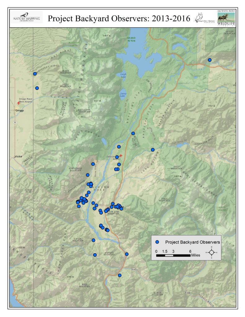
Some PBY observers have been providing information since the inception of the project. Others are welcome additions to the group, adding data from new locations that help give us a broader picture of Teton County wildlife. Many PBY observers are located in a few places — unsurprisingly, those areas where people live: Jackson, Wilson, Rafter J and along WY 22 and HWY 390. Others are located in Alta, Buffalo Valley and scattered from Munger Mountain to Blacktail Butte. It would be wonderful to fill some gaps where observations are not being made, including Moran, Spring Gulch and both Gros Ventre Buttes, the south end of the county, Hoback Junction, Kelly and the Shadow Mountain area. Populations are sparse in some of these spots, so there aren’t many backyards from which to observe. But slowly, we are building a valuable database using citizen science, thanks to the dedication of many people who care about the future of wildlife.
Project Backyard Observers 2013 – 2016:
by jhwildlife | Feb 18, 2017 | Blog, Nature Mapping Jackson Hole
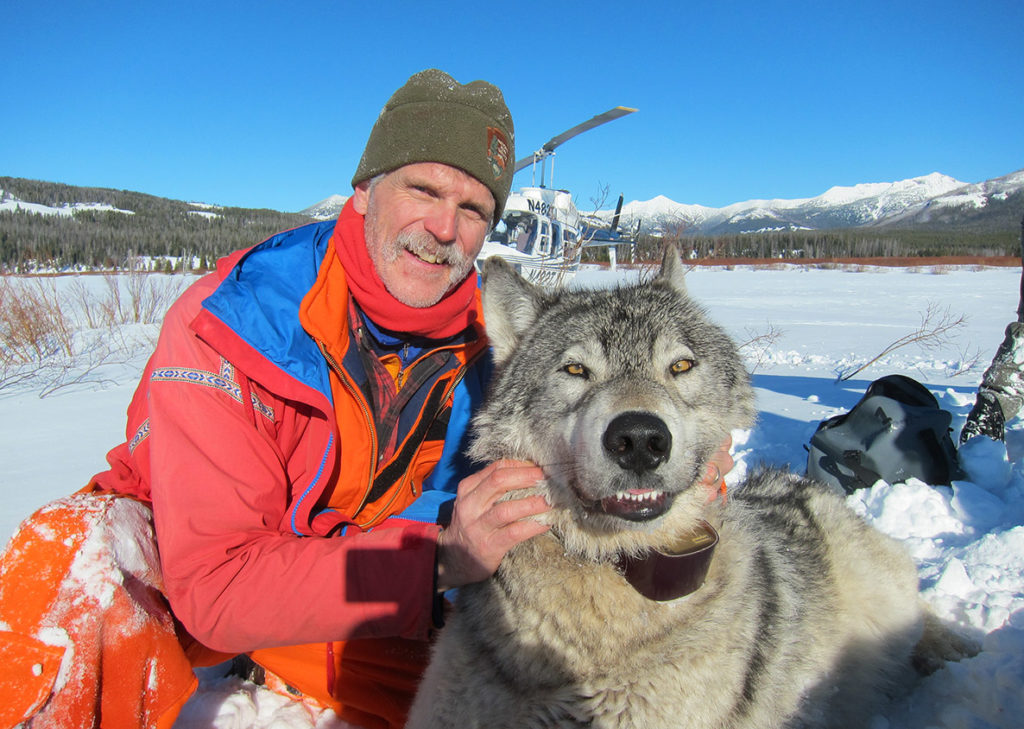
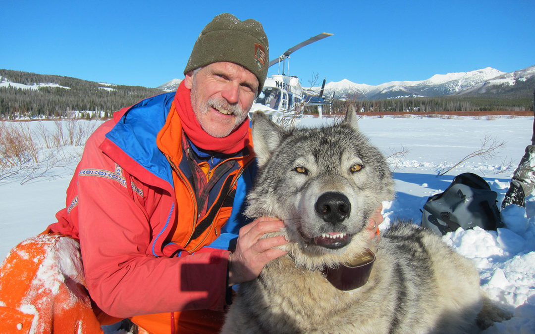
Join us for an annual celebration of our wildlife-friendly community of citizen scientists. The supervisor of the Yellowstone wolf, bird and elk programs Doug Smith will present ‘Yellowstone wolves: the first 20 years’ about wolf population dynamics, wolf-prey relationships, trophic cascades and wolf-human interactions (hunting).
Have some fun and bring a dish to share: Last Name: A-K Main Dish, L-P Side or Salad, Q-Z Dessert
*You are welcome to join us even if you cannot provide a dish
• Nature Mapping Potluck Dinner at 6 pm and Presentation at 7
• At Center for the Arts
• MC: Dawson Smith, Spring Creek Ranch Naturalist Program Director; Jackson Hole Wildlife Foundation Board Member
• March 22, 5:30 pm doors open
• Cost: Free (bring some cash for great raffle items!)
Enter a raffle drawing to win from a selection of great items generously offered by in-kind supporters (tickets are 1 for $5, 5 for $10, 10 for $30).
TIMELINE:
5:30 pm – Doors open
• Raffle items and silent auction on display
• Learn about becoming a Nature Mapper and see what our collective observations reveal in maps that are on display
• Drinks available at cash bar
6 pm – Potluck dinner begins
6:50 pm – Raffle ends
7 pm – Presentation in auditorium features Doug Smith
Thanks to the Meg and Bert Raynes Wildlife Fund and the entire Nature Mapping community for making the evening possible.
SILENT AUCTION ITEMS AND RAFFLE PRIZES:
Silent Auction Items:
• Henry Holdsworth Framed Print of Wolves – Last of the Druids donated by Wild by Nature Gallery
• Breakfast with Eagles Float Trip donated by Jackson Hole Vintage Adventures
• Teton Pines Golfing for Four package donated by Teton Pines Country Club
• Lost Creek Ranch Cookout donated by Lost Creek Ranch
Raffle Prizes:
• Bert Raynes Bird Lovers Package (Special edition of Birds of Sage and Scree, Birds of Jackson Hole, and Far Afield DVD)
• National Park Service Annual Pass & Gift Basket donated by Grand Teton Association
• Spring Creek Ranch – One-Night Stay + Breakfast & Dinner for 2 donated by Spring Creek Ranch
• 2 Day Passes to Jackson Hole Mountain Resort donated by Jackson Hole Mountain Resort
• 5-Pack Yoga Class Card donated by Teton Yoga Shala
• Big R gift card donated by Big R Jackson Hole
• Nature Mapping Jackson Hole Hat and T-shirt
by jhwildlife | Jan 30, 2017 | Blog, Give Wildlife a Brake, Nature Mapping Jackson Hole
Our collective Nature Mapping observations create a long-term dataset of wildlife distribution throughout Jackson Hole. The obvious benefit is that these data provide a more comprehensive view of how wildlife use the valley. The less obvious product of the database is that it includes data that show us how human presence affects wildlife, often in the form of wildlife mortality. The most common reference source for human-caused wildlife mortality is the Jackson Hole Wildlife Foundation’s Wildlife-Vehicle Collision Database. It contains data derived from WYDOT and Wyoming Game & Fish carcass and crash counts, but also includes Nature Mapping observations from citizens who report roadkill to JHWF at 307-739-0968, or enter their roadkill observations directly via their Nature Mapping account. All of these records eventually are cross-checked to remove duplicates. It is an important resource, adding to our local knowledge, and helping to inform county-wide plans to find solutions that save wildlife and make our highways safer for drivers.
The Wildlife-Vehicle Collision (WVC) Database captured 259 collisions in 2015. Data for the 2015 update was acquired from the following data sources: Wyoming Department of Transportation – Carcass (118), Wyoming Department of Transportation – Crash (70), Wyoming Game and Fish Wildlife Observation System (33) and Nature Mapping Jackson Hole (28). In total, the WVC database contains 46 total species with mule deer, white-tailed deer, elk and moose being the most prominent species involved in WVCs.
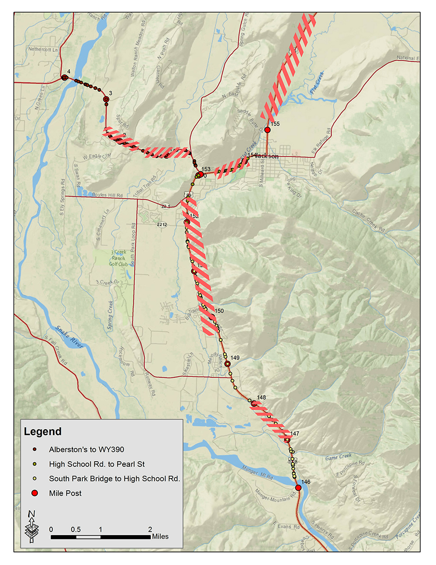
The below map shows where the most frequent collision points are on the local highway network. The highlighted areas had the highest number of collisions from 2013-2015. During this intense winter of 2016-2017, these data have helped us to pinpoint places to add emergency mitigation measures. If you see a dead animal on the side of the highway – small mammals and rodents as well as ungulates – please enter it into the Nature Mapping database, or call us at 307-739-0968 with precise location and time and our staff will enter it. We are likely underestimating the number of animals struck on the highways – certainly for non-ungulates – and our future solutions will depend on our ability to accurately capture what is happening on the roads. Thank you for your help!
by jhwildlife | Jan 27, 2017 | Blog, Give Wildlife a Brake
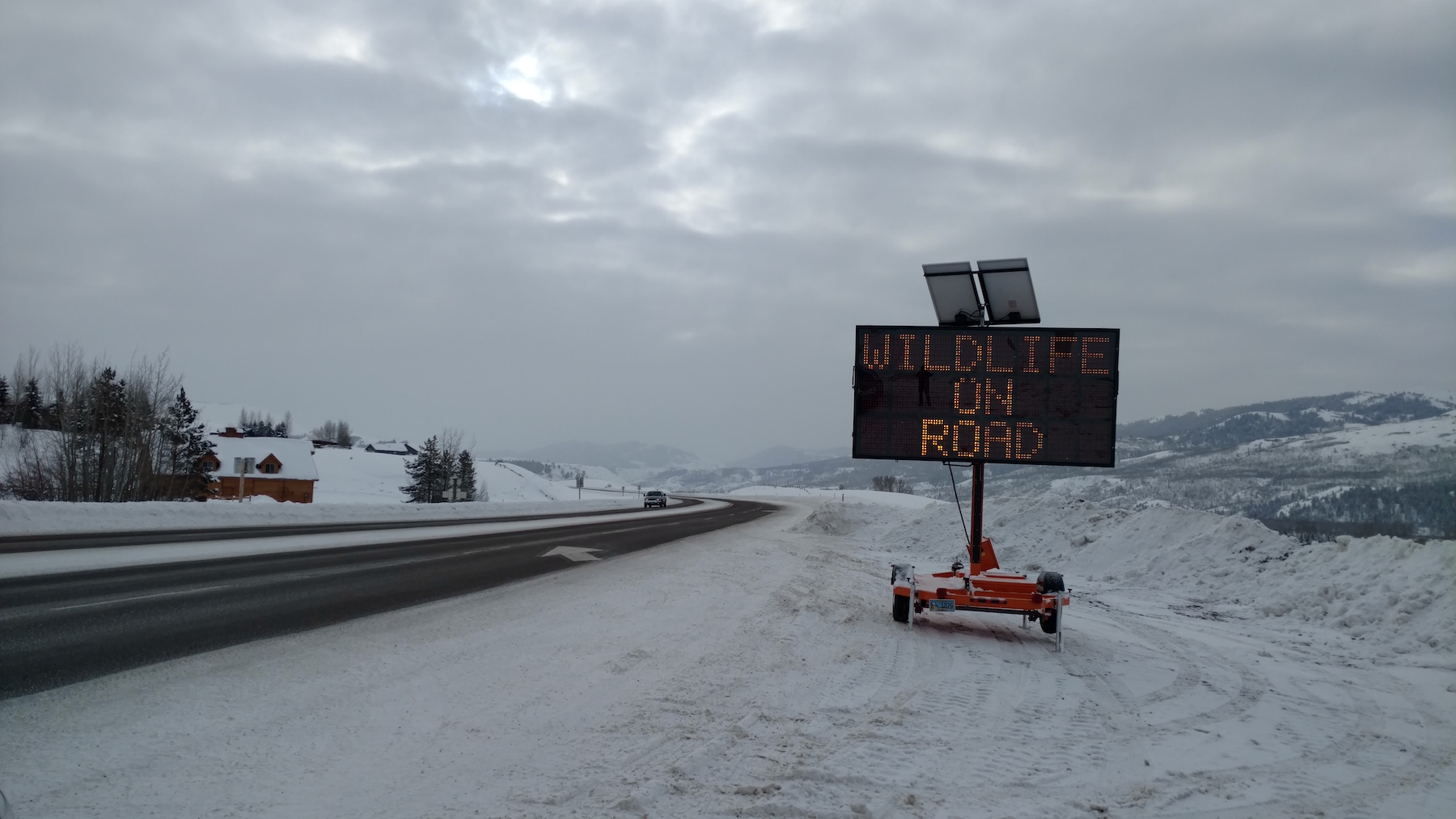
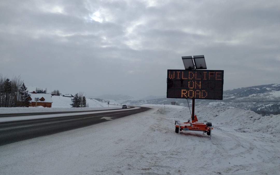
The Teton County Sheriff’s Office contributed two more variable message signs to a stretch of S HWY 89 as area organizations enacted emergency options to address a challenging winter for wildlife.
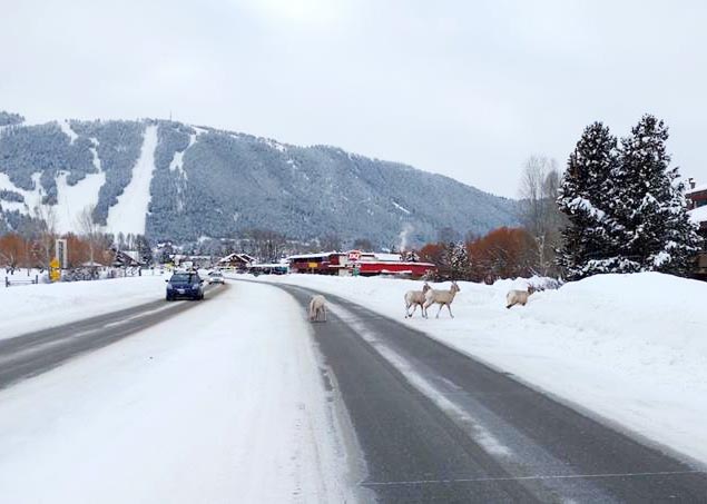
We have all seen that this year’s snowpack is making things difficult on wildlife. Mule deer in particular are spending more time in the town and on the roads – wherever they can find easier movement and potential forage. As they join us on the valley floor and move around where we do, the potential for conflict of many kinds increases. An obvious problem arises on our roadways, as high snowbanks both limit driver visibility and make navigation challenging for wildlife. Area organizations and agencies continue to discuss options to address the issue, some having been put in place immediately as short -and long-term strategies to reduce wildlife vehicle collisions are integrated. Here’s an update on the quick-response efforts:
Jackson Hole News & Guide article by Mike Koshmrl (Thursday, January 26)
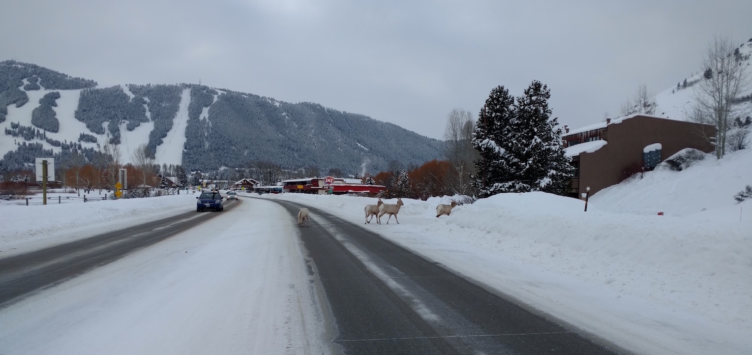
A small herd of bighorn sheep is frequenting the stretch of N HWY 89 just north of the Dairy Queen near the town limits. Please give them ample space and time to move. Unlike deer and elk, these sheep will obstinately remain on the road.
While a county-wide master plan is in process, an array of short-term mitigation measures have been and will continue to be considered. We are grateful that a good deal of data exists on the relative effectiveness of various measures, which we use to make decisions while also recognizing the constraints of time, resources and feasibility. The planned crossings on South HWY 89 (construction set to begin next spring) will separate animals from the roadway, which data suggests is the most effective way to reduce wildlife-vehicle collisions at scale. According to most research, underpasses and overpasses are 80-90% effective at reducing WVCs, while seasonal wildlife alert signage (i.e. variable mobile message signs) is estimated in the 20-25% effective range, making it an effective emergency measure and complimentary piece within a holistic WVC reduction effort. The master plan will likely include a number of mitigation recommendations to include structures, signs and speed limit adjustments to apply the most effective site-specific solutions across the valley.
What can you do now?
- Be alert and drive for the conditions. Most accidents happen at times of low visibility – dawn, dusk, nighttime or in bad weather.
- Watch for electronic warning signs. These signs are put in places where we know animals are or have recently been crossing the road frequently. They’re not just generic warnings – when you see these signs, watch carefully for wildlife.
- When you see wildlife near roadways – slow down immediately. If you see one animal cross the road, it is very likely more are close behind. Animals near the road are not waiting for us to pass by – expect them to do something unexpected, like dash in front of your car.
- In winter, wildlife often use roads to move about – it’s easier than walking through deep snow. But, sometimes they get onto a road and can’t find a quick place to get off. Give them a brake. Be patient and give them time to find a place to get off the road.
- To protect yourself and your passengers, experts advise that you should not swerve off the road to avoid hitting an animal.
- Familiarize yourself with the wildlife-vehicle collision hotspots (located here) and be even more mindful when driving there. Hint: The flashing fixed radar speed limit signs and digital message boards are located in some of these hotspots.
- Get involved with Safe Wildlife Crossings for Jackson Hole to learn about what we can do to reduce wildlife-vehicle collisions as a community.
- Contact your elected officials to let them know that reducing wildlife-vehicle collisions is a high priority.
- If you see areas where snowbanks are trapping wildlife on roadways or impeding movement unusually, please don’t hesitate to call us at 307-739-0968. We work with local partners to address these issues if possible.
Additionally, if you are a Nature Mapper, record your observations of wildlife around neighborhoods and roadways. Please use the comments fields to share the activity you observe. The more information we collect about locations and behaviors during winter (all seasons, actually), the better we understand as a community how we are interacting with wildlife, with the goal of living compatibly alongside our wild neighbors.
Be especially alert in the areas highlighted on this map!