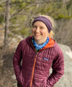
Blog author Hanna Holcomb is the 2020 Fall Americorps intern with the Jackson Hole Wildlife Foundation
By Hanna Holcomb
In 2009, local volunteers and biologists launched Nature Mapping Jackson Hole under the Meg and Bert Raynes Fund as a way to document local wildlife. Since then, more than 500 citizen scientists have logged over 70,000 observations. But as Nature Mappers log sightings of elk and bluebirds and bears (oh my), they might wonder, what happens with all of that data?
I spoke with some of the people who use Nature Mapping data, which is now run by the Wildlife Foundation, to help guide land and wildlife management decisions.
“The data that’s collected from Nature Mapping programs and all of their affiliated projects gives us a lot of information that we would have a very difficult time collecting on our own,” said Ben Wise, Wildlife Disease Biologist at Wyoming Game and Fish.
Wise pointed to Moose Day, an annual winter survey of moose on private lands in the county. Though only about 3% of land in Teton County is private, those areas are important wintering habitat for several species. But because Game and Fish conducts winter wildlife surveys from a helicopter, their usual methods aren’t possible in developed areas.
“When we’re flying over an area, oftentimes animals get up and move,” said Wise. “But if you’re trying to do that over a suburban area, you’re going to be running animals through people’s yards.”
Instead, Moose Day volunteers hike, ski, and drive, looking for moose on private land. Last year, one-hundred citizen scientists saw 127 moose.
Wise estimates that without Moose Day counts, population estimates would be 30-40% lower than they are. The data collected by Nature Mappers gives Wyoming Game and Fish a better understanding of moose population trends and distribution in the valley.
Nature Mapping data is also used to assess the natural resources of a piece of land that is proposed to be developed or conserved.
“When I wrote an environmental analysis on a green space in town, Nature Mapping data was very helpful in showing a list of species that people had seen over time using that space,” said Megan Smith, owner of EcoConnect Consulting, LLC and former Nature Mapping Coordinator. “I can go there three or four times over the course of a project, but what I see versus what hundreds of people have seen over a ten-year period is very different.”
Having long term data is also useful for the Teton County Conservation District when they are asked to assess the natural resource impacts of a proposed development on private land.
“It’s not uncommon for us to look at those development proposals and then compare Nature Mapping data to the project area as well as the vicinity,” said Morgan Graham, GIS and Wildlife Specialist at Teton County Conservation District. “And the number one thing I look for is season of use.”
For example, if Nature Mapping data shows that mule deer consistently use an area in the winter, the conservation district may emphasize the importance of reducing noise and disturbance to help mule deer conserve energy through the season.
If you’re interested in becoming a Nature Mapper, email kate@jhwildlife.org to sign up for a certification training.
And if you’re on the fence about becoming a Nature Mapper….
“The fact that you’re not an ornithologist or a trained wildlife biologist shouldn’t dissuade anybody from participating,” said Wise. “There are a lot of common animals like deer or elk, that people can report, and that’s all very valuable data for us.”
And of course…
“It’s fun,” said Graham. “And you can feel good about supporting long-term data collection.”
