by Susan Marsh
When Nature Mapping Jackson Hole began in 2009, Project Backyard (PBY) was born. It was the first systematic observation protocol developed for Nature Mapping Jackson Hole, meant to augment the casual observations that people recorded while driving or wandering along the mountain trails. What’s the difference between PBY and casual observations, and why does it matter?
A good example may be taken from our first attempt at counting moose on a single day for Nature Mapping Jackson Hole, prior to the start of the organized Moose Day, for which observers are assigned specific areas. On that first count we had lots of observations, but many of them turned out to be the same dozen moose in the Antelope Flats area. It became clear that casual observations could only give so much accuracy on a single day.
What was the best way to achieve a more systematic approach that would be easy for people to work with? Asking homeowners to record what they saw from their backyards seemed like the answer.
Participants in PBY make weekly observations, recording the maximum number of each species seen during a single week. No need to use a GPS unit – anyone participating in the project enters the coordinates for their location once, and they come up automatically each time. You can do it less frequently than weekly, and you don’t have to sit watching the bird feeder all day – just note what you see.
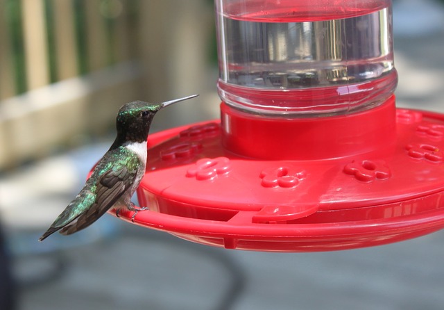
The response has been remarkable. Over 19,140 observations have been made in Project Backyard. These observations are particularly valuable as they provide information about the wildlife living in, or moving through, our neighborhoods and agricultural lands. While the federal agencies and Wyoming Game & Fish Department conduct wildlife counts on public land, they are often geared toward particular species, such as the classification count each February on the National Elk Refuge. Private lands are not included in agency counts since access is not always granted. But if you live there, you can provide valuable insights. It is through private citizen observations that we know about where small elk herds are moving as they increasingly stay the winter in the Wilson area and elsewhere on the valley floor – especially in this high-snow year. It is through citizen observations that we know the winter of 2016-2017 has been a low year for many species of songbirds that are often seen in higher numbers at feeders.
We collect this information not just for our edification. Nature Mapping Jackson Hole receives requests from the county, environmental consulting companies, researchers, non-governmental organizations and land developers, asking for information about what wildlife species might be affected by upcoming plans. Any data that a private firm or individual receives also go to the Teton County Planning & Development Department. Our data help make good decisions for wildlife in the valley.
Some PBY observers have been providing information since the inception of the project. Others are welcome additions to the group, adding data from new locations that help give us a broader picture of Teton County wildlife. Many PBY observers are located in a few places — unsurprisingly, those areas where people live: Jackson, Wilson, Rafter J and along WY 22 and HWY 390. Others are located in Alta, Buffalo Valley and scattered from Munger Mountain to Blacktail Butte. It would be wonderful to fill some gaps where observations are not being made, including Moran, Spring Gulch and both Gros Ventre Buttes, the south end of the county, Hoback Junction, Kelly and the Shadow Mountain area. Populations are sparse in some of these spots, so there aren’t many backyards from which to observe. But slowly, we are building a valuable database using citizen science, thanks to the dedication of many people who care about the future of wildlife.
Project Backyard Observers 2013 – 2016:
![]()